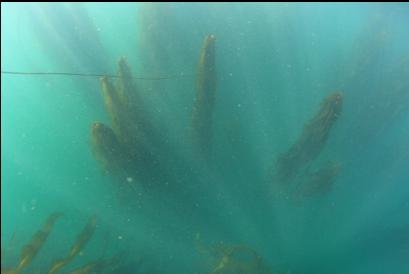
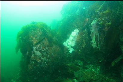
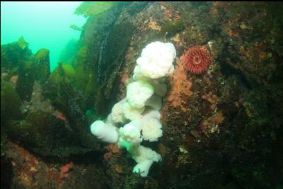
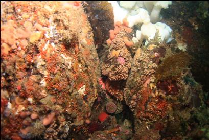
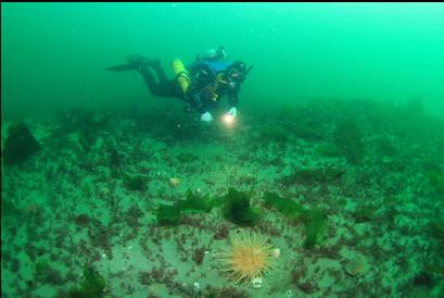
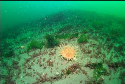
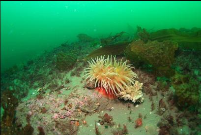
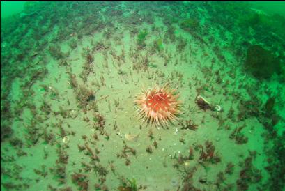
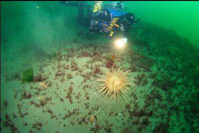
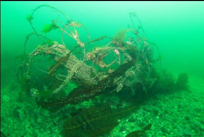
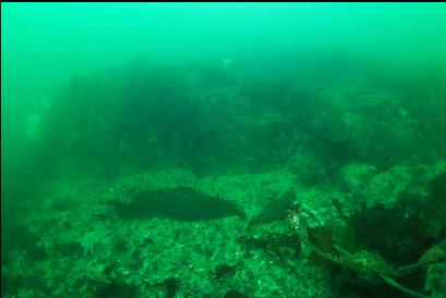
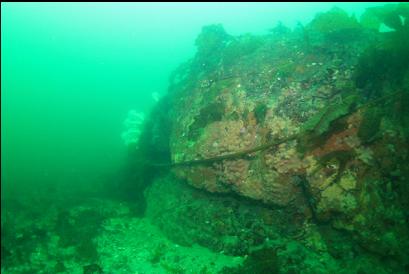
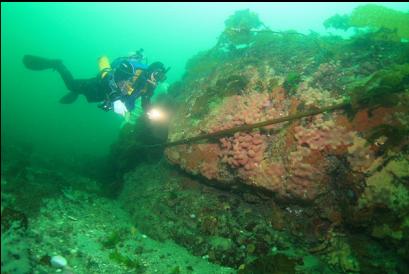
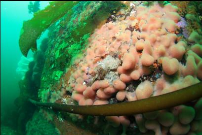
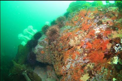
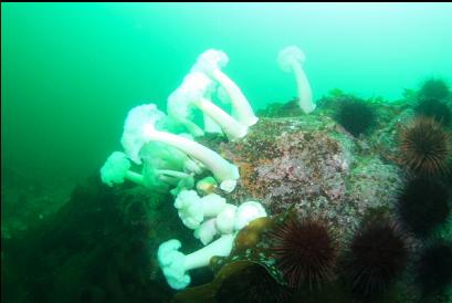
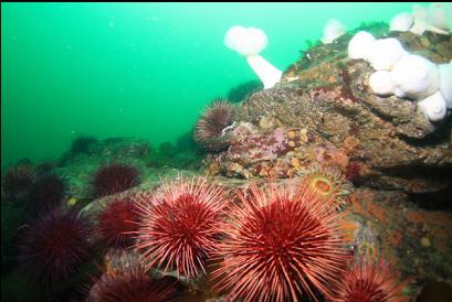
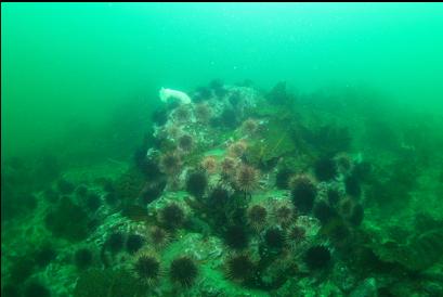
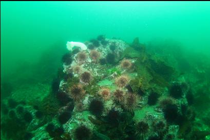
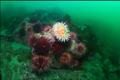
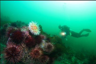
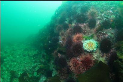
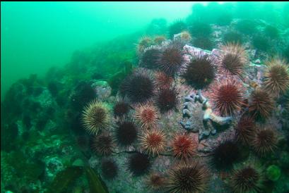
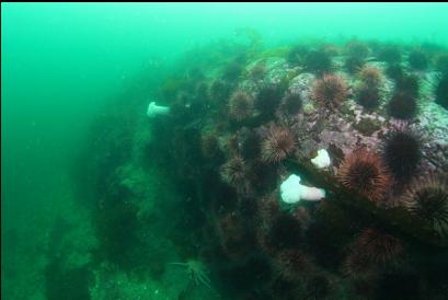
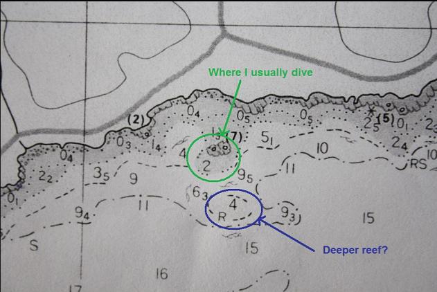
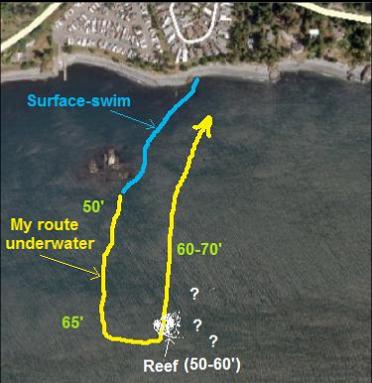
I saw an older marine chart of this area at the library that was more detailed than the newer one. It seemed to show another rocky reef popping up offshore from the islets where I usually dive. It looks like a bit of a swim (maybe 200 meters) from the Southern tip of the islet reefs. I came here to try and find it on July 27, 2011. Conditions were pretty good. Despite the permanent Environment Canada summer wind warning for the Strait of Juan de Fuca, the water was pretty calm. I showed up when the Race Passage current table was showing a 4-knot maximum flood, but there was just a slight flooding flow here. I swam out on the surface to the Southern tip of the islets and descended to the bottom of the slope about 50 feet deep. Visibility back near shore was about 10-15 feet from all the stirred-up bits of seaweed, but out here it was a nice 30 feet. I took a few pictures of the tip of the islet reef then said goodbye and started following my compass South into the Strait of Juan de Fuca. I swam and swam and didn't see any rock, just a few lonely anemones (crimson, sand and fish-eating). I reached a depth of 65 feet and I was pretty sure I missed the reef. I turned East and swam a bit more. There seemed to be wide "dunes" rising up a couple of feet from the bottom. I don't know if there was rock under them. It looked more like the low areas were dredged out. I was hoping it wasn't from the current. I was swimming around at random now when I saw a shape in the distance. It was a tangle of rope or wire rising off the bottom. Just behind it I saw a rocky reef. The corner I saw rose about 6 feet off the bottom. I didn't have enough air to have a good look so I swam along the edge of it in the direction leading back to shore. There were urchins, plumose and fish-eating anemones and an Irish lord. This area was 50-60 feet deep, which seems deeper than the area shown on the chart (25-30'), but I only saw a small section of the reef. My corner of the reef ended and I followed my compass over the 60-70-foot-deep flat bottom back to shore. I told myself that long swims following a compass out from shore in an area with current with an uncertain destination were silly, but I couldn't promise myself that I'd never try it again.