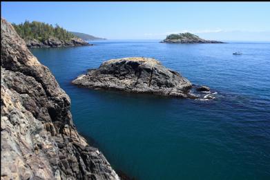
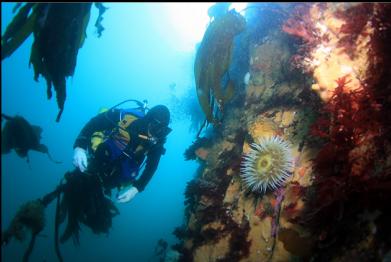
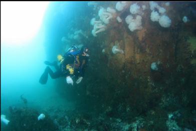
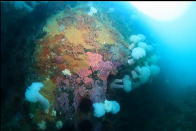
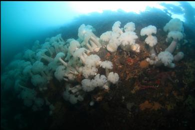
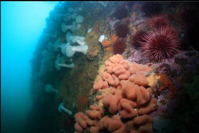
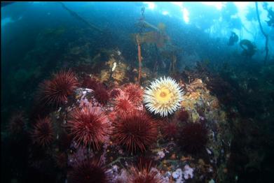
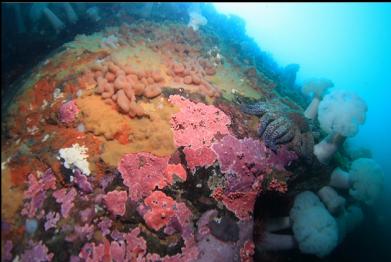
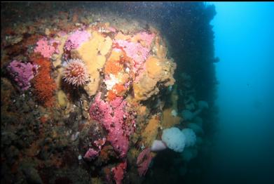
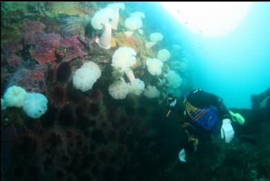
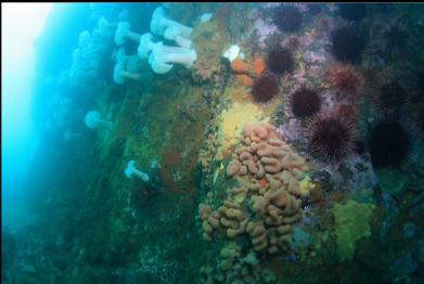
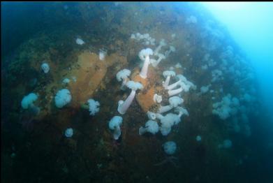
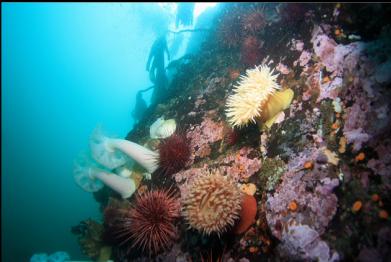
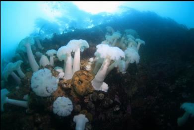
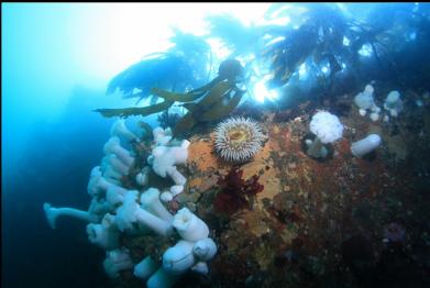
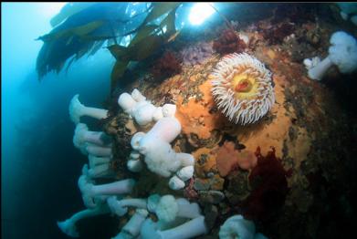
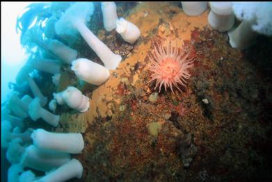
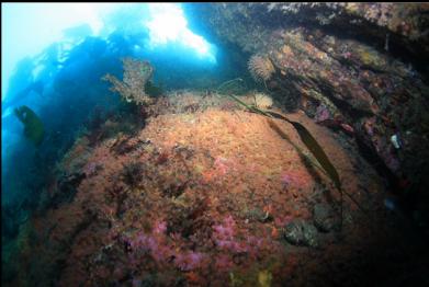
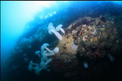
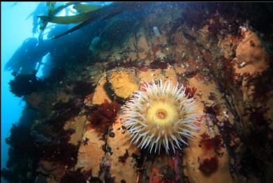
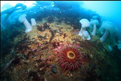
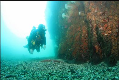
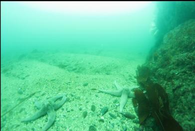
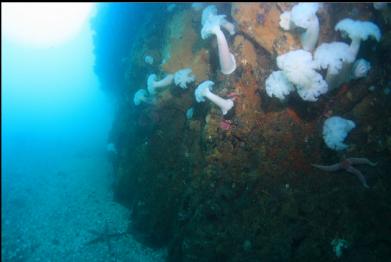
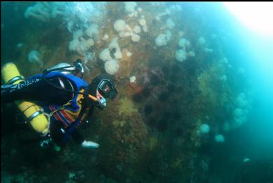
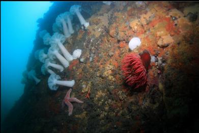
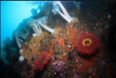
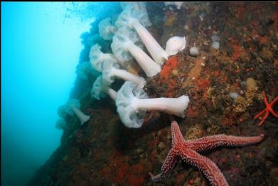
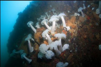
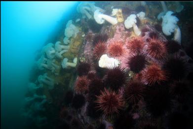
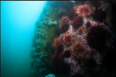
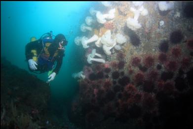
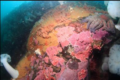
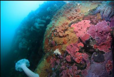
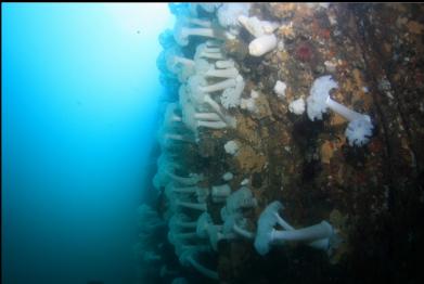
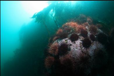
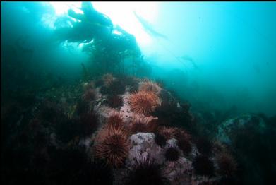
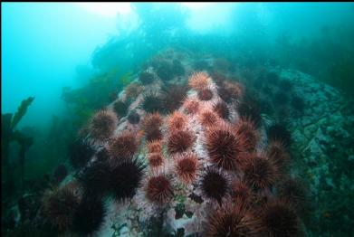
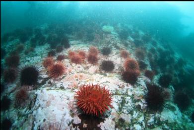
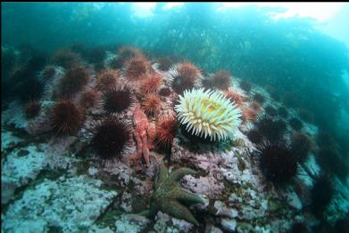
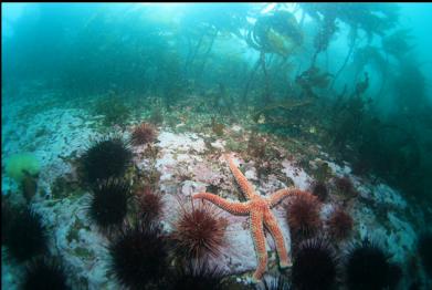
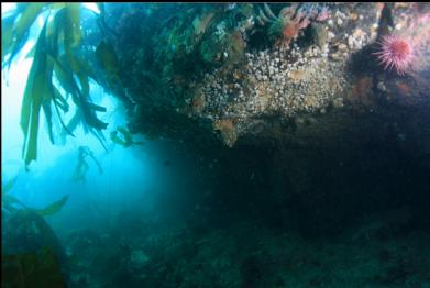
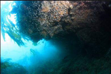
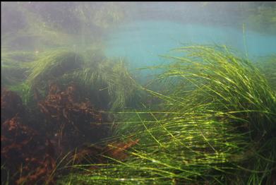
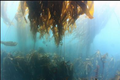
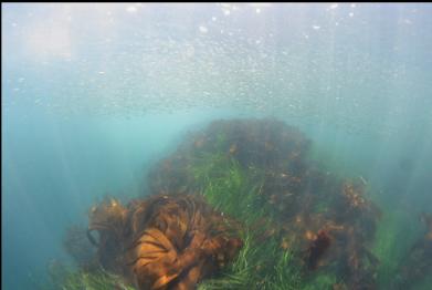
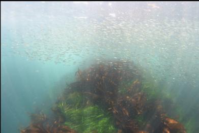
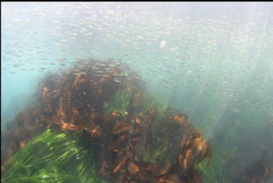
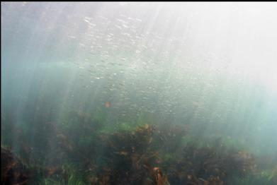
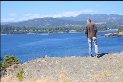
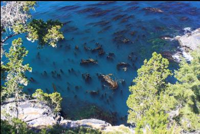
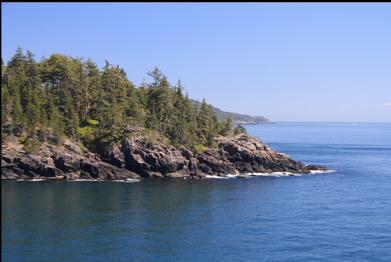
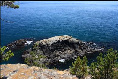
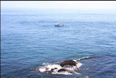
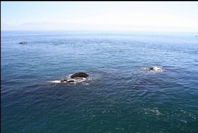
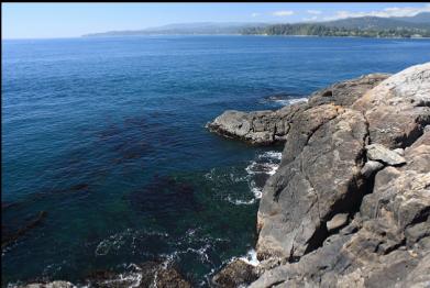
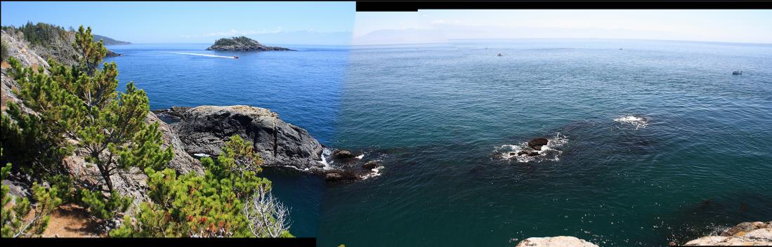
I've been trying to dive here as often as possible before access is lost (the convoy of luxury SUV's with out-of-province license plates has been cruising this area extra slowly lately), so I tried again on July 16, 2010. Environment Canada had posted a strong wind warning, but it was actually about as calm as it gets here. The tide was also low which makes getting in and out of the water difficult, but with the flat water, it wasn't too bad. On my previous dives here, I explored the wall near the entry-point and some of the sloping reef/rubble bottom around the point, but I've never been able to make it very far. A bit farther East around the point, there are some small reefs exposed at low tide and a larger islet about 30-50 feet offshore. The marine chart shows a steep drop on the outside of the islet to 40-60 feet deep. Since it was calm out and it was a decent-current day, I decided to swim out on the surface along the tip of the point and dive around the islet. It wasn't that long of a swim and there wasn't much current. I could see a bunch of the people in the swarm of fishing boats off the point staring at me. When I was almost at the channel separating the islet and the point I descended, expecting to see the bottom right away since the chart shows a depth of less than 6 feet. The inner side of the islet was actually a steep wall going down to about 40-50 feet deep. This wall was covered with plumose anemones, encrusting hydrocoral, cup corals, tunicate colonies, fish-eating anemones, etc...This wall was a nice, colourful surprise. It was bigger and even more colourful than the familiar wall by my entry-point. I even saw a small area covered with strawberry anemones. The channel had a sand and rubble bottom that was about 20-30 feet across. The "mainland" side of the channel was another wall, but this one was mostly covered with urchins. I followed the islet side wall for over half of my dive. Visibility was about 25 feet. The current wasn't too strong, but it seemed to be flowing in different directions in different places. Some of the sandy areas at the base of the wall were sculpted into dunes by the current and/or surge. Eventually the wall curved around the outside of the islet. There wasn't as much invertebrate life here as in the channel. There was a wall, sometimes-sloping and with ledges, going down to about 50-60 feet deep. At about 30 feet deep there was a ledge and the wall here was undercut with a low overhang. There weren't many fish around on this dive, but some small quillback rockfish were hiding out here. The current on the outside was flowing against me so I swam up to the kelp in the shallows near shore for the swim back. There were big schools of small herring and tubesnouts around the bull kelp and surfgrass. The current was especially strong around the final corner. I couldn't swim against it on the surface so I descended to the stalked kelp where there was more resistance to the flow and I could hold on if I needed a break. I saw the mini-canyon with the hydrocorals and strawberry anemones below me that I remembered from my previous dives. Of course I eventually made it back to my entry-point, where despite the lack of waves, it was still a challenge to climb out. I've said before that this is my favorite Victoria-area shore dive and now that I've seen this new area, I like it even more. Of course I can't stress enough that between the difficult access, the current, the surge and the kelp, this can be a challenging shore dive. A live boat on a calm day would probably be the best way to have a look around here.