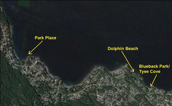
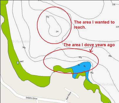
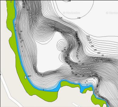
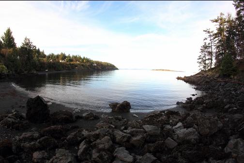
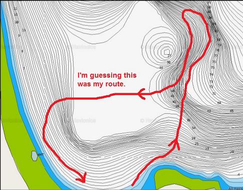
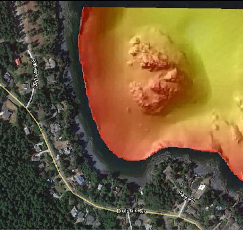
I've only been here once before about 9 years ago. I had only looked at the area around the right-hand point (which was a rocky/rubble slope down to about 50' deep). On the marine chart I saw what looked like a semi-steep area rising up from the bottom out from the point, but the distance seemed too far to swim with the 80 cubic-foot tank I was using at the time. Recently I saw a more detailed chart of the area that seemed to confirm that this area was steep enough to be rocky. This rocky reef seemed to go from 30' deep at the top down to 100' deep or so at the bottom. It was about 200 meters/yards off the point (pretty much straight north).
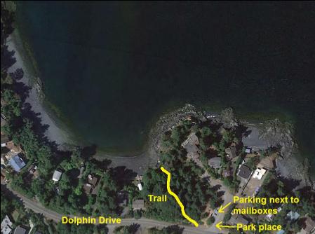
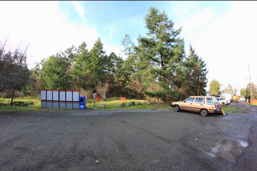
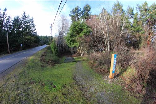
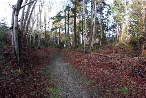
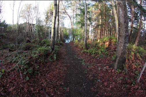
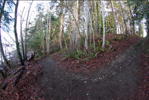
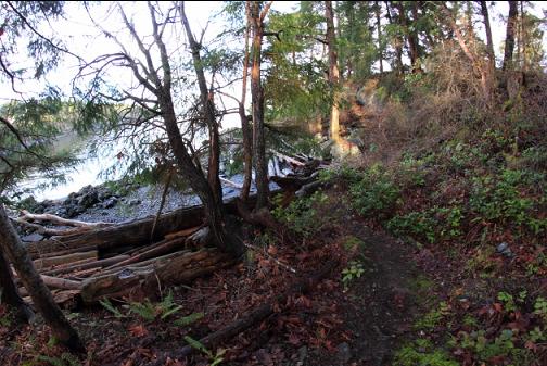
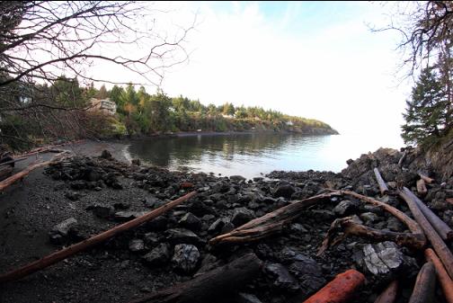
With the 119 cubic-foot tanks I use now, I felt confident that I could reach the rocky reef so I drove up from Victoria on Jan. 13, 2016. I parked on Park Place (the name of the road) and walked down the short-but-steep trail to the water.
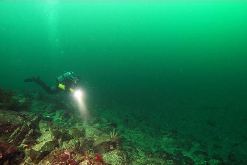
In the water I could see that the visibility was probably the best I've ever seen in the Nanoose/Parksville area. It must have been close to 80'. I swam out towards the point.
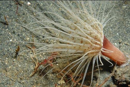
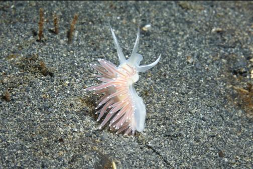
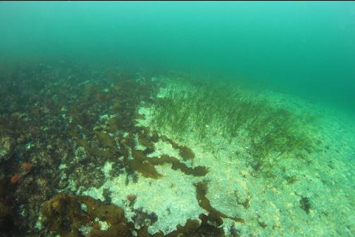
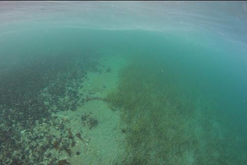
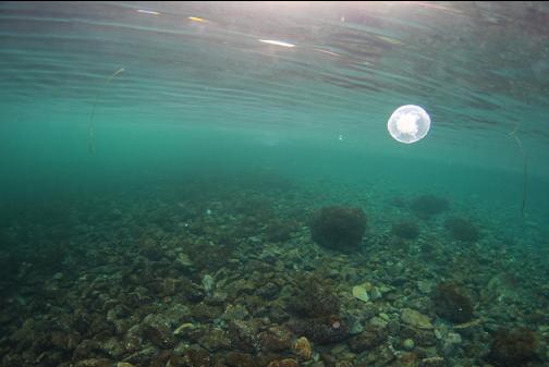
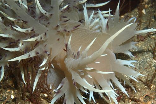
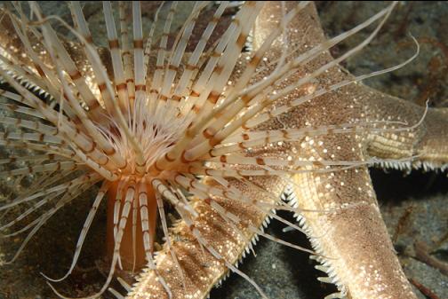
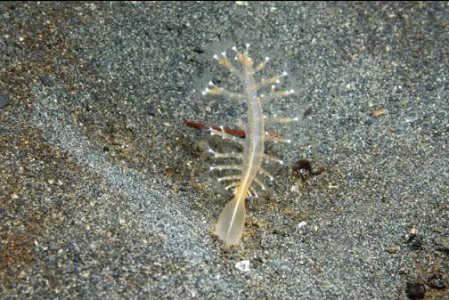
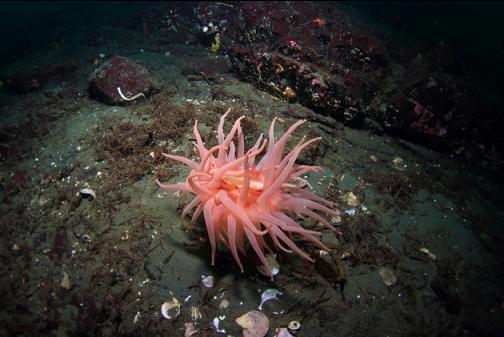
I reached the base of the rocky slope (50' deep) at the tip of the point and started swimming North across the sand. There were tube-dwelling anemones and a few giant nudibranchs (and smaller nudibranchs) on the sand.
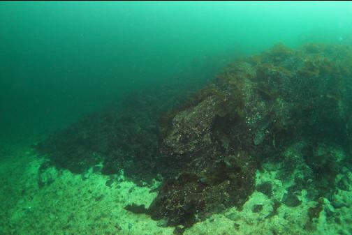
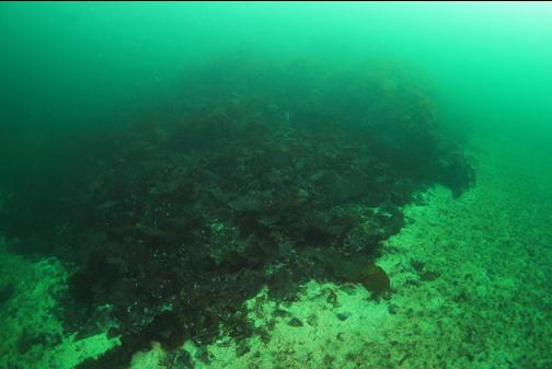
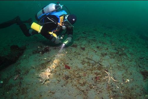
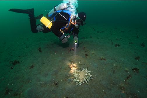
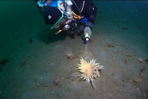
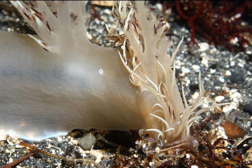
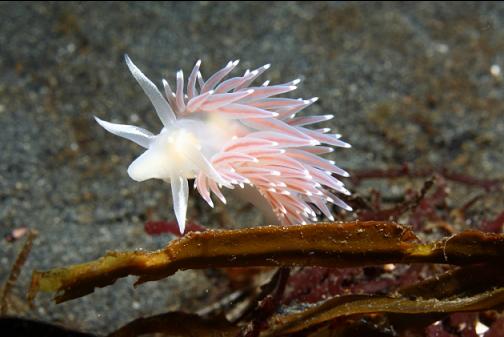
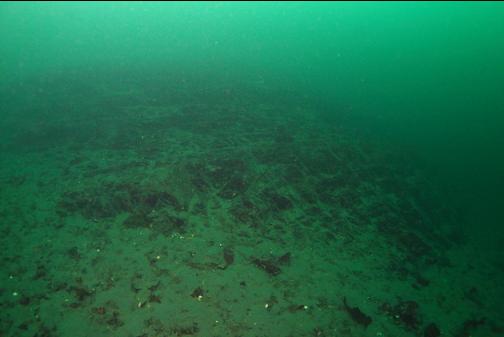
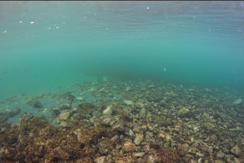
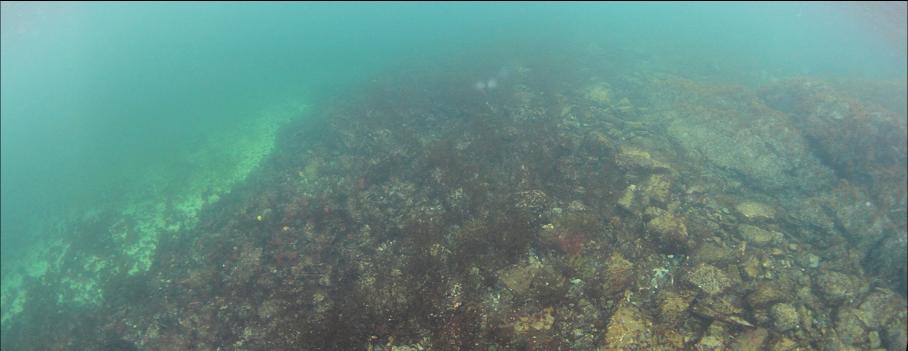
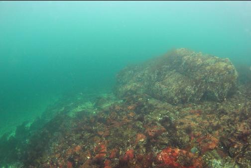
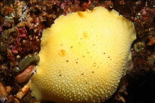
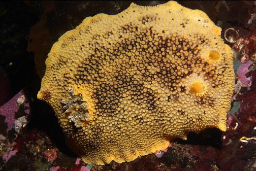
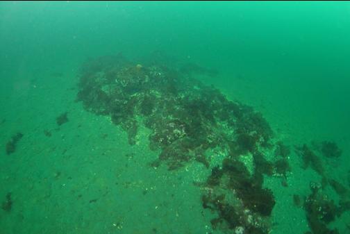
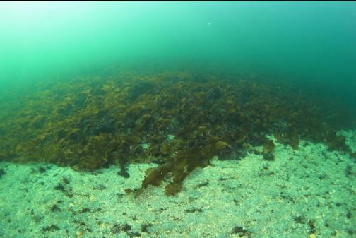
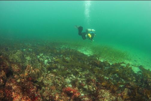
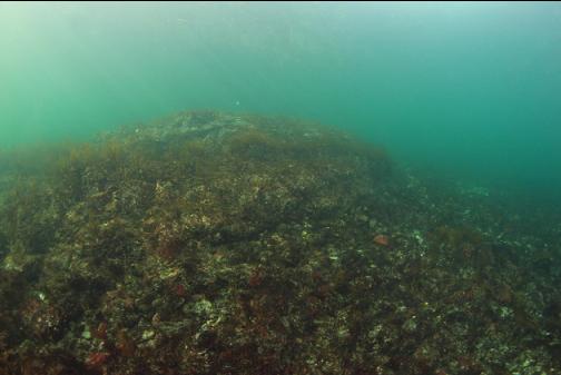
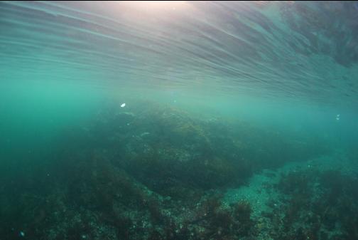
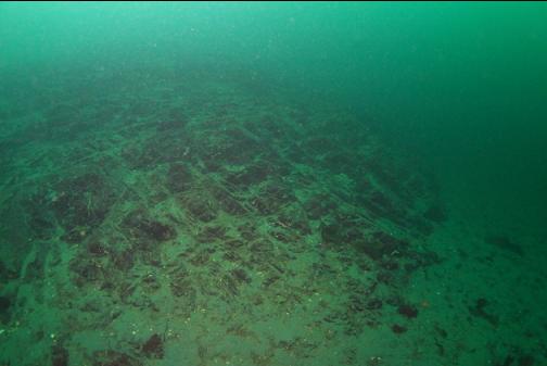
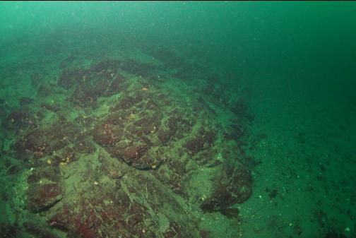
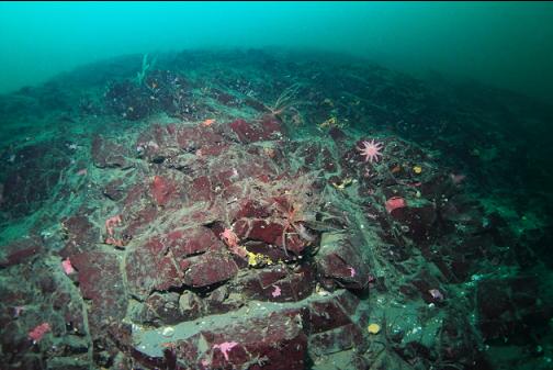
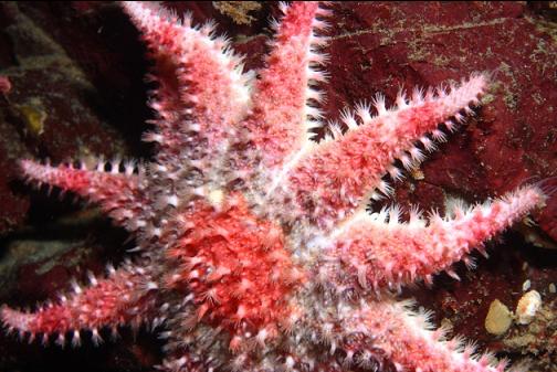
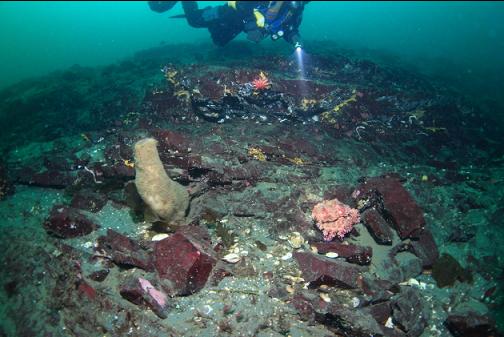
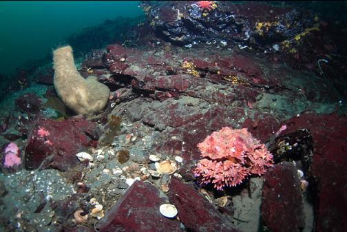
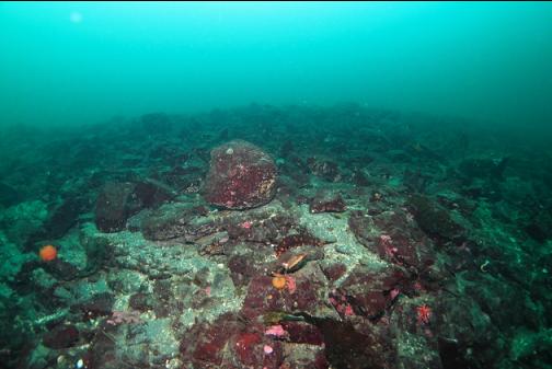
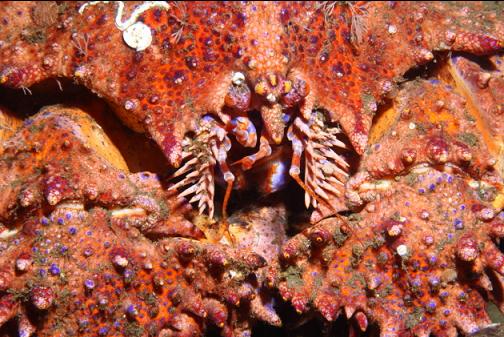
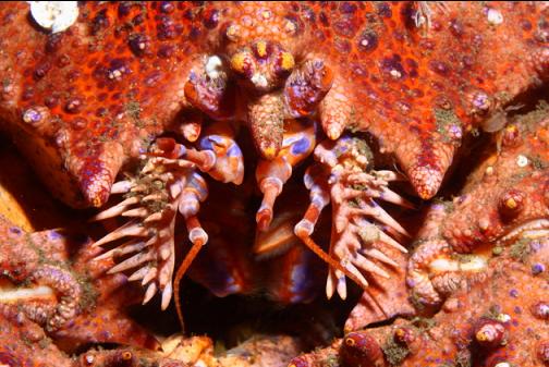
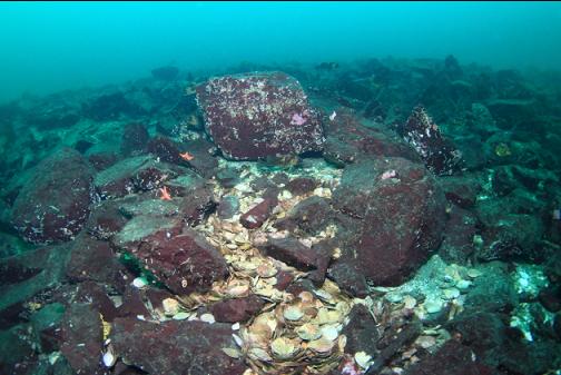
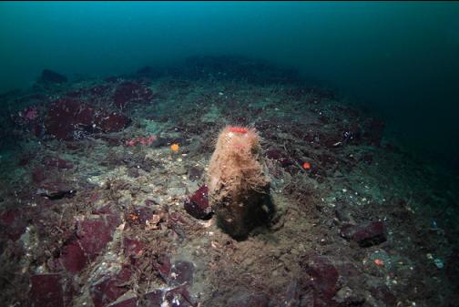
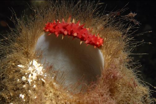
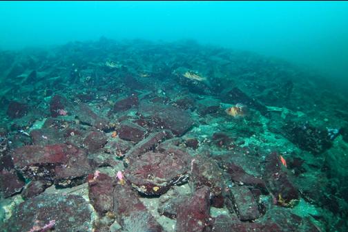
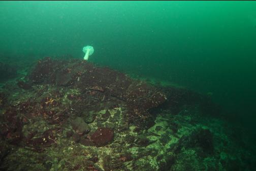
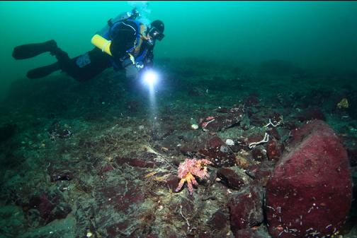
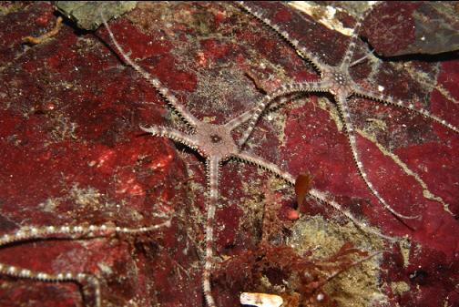
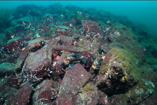
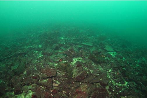
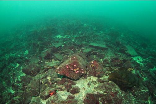
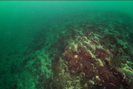
Eventually, about 80' deep, I saw a large rocky area in the distance. I think if the visibility wasn't so good I might have missed it. There were a few boot sponges and feather stars on the rocks. I saw about 3 Puget Sound king crabs and 2 plumose anemones. There weren't many fish. Other than small gobies, I saw a few copper and quillback rockfish, a small lingcod and a cabezon. There were quite a few swimming scallops and they seemed to be more shy than usual. They often started swimming up and away when I swam close. I followed this reef along the base where it met the sand out to about 90' deep. My limited air supply made me eventually turn around and swim back shallower along the reef. While most of the reef below 70' deep was solid rock, higher up it was a slope of rocky rubble. I didn't swim all the way to the top of the rocky mound, but the chart shows it topping out at about 30' deep.

I left the rocky reef and started swimming back across the sand towards shore. I don't know how I did it, but I ended up at the shoreline far North of my entry-point so I had a long surface-swim to get back to the bay where I started.