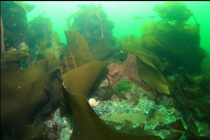
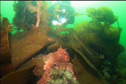
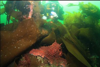
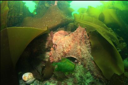
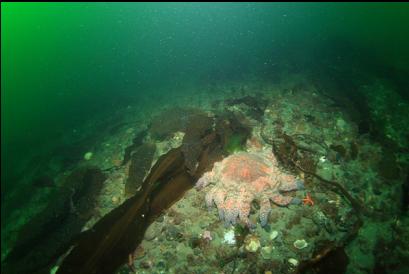
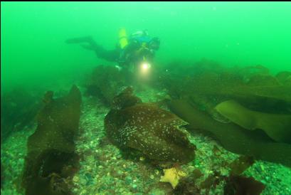
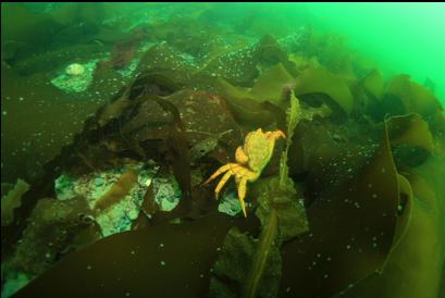
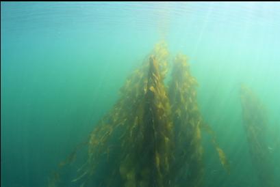
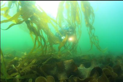
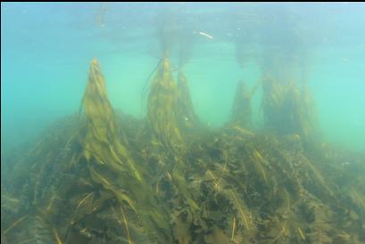
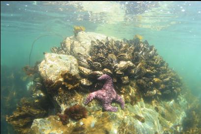
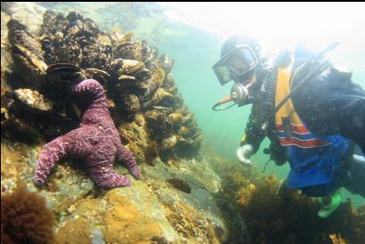
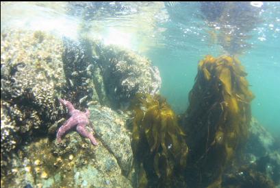
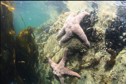
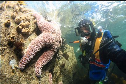
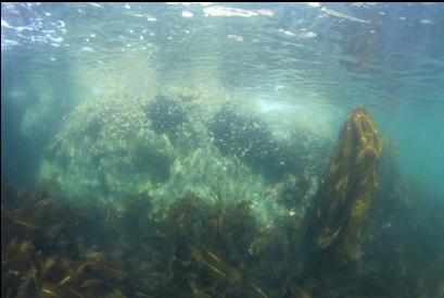
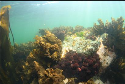
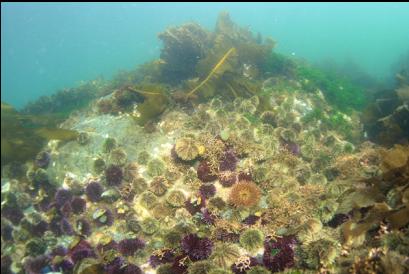
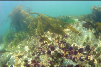
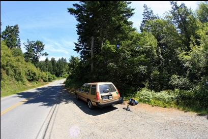
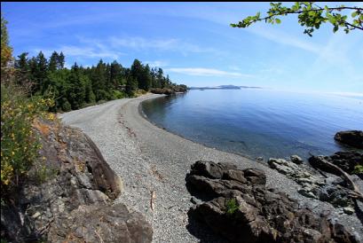
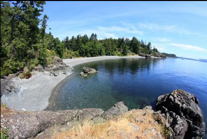
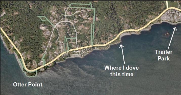
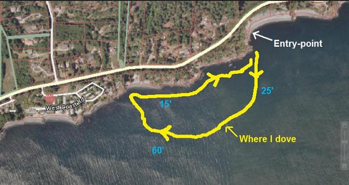
I tried going back on June 26, 2011 to the spot on the East side of Otter Point (where I dove originally). I saw an old marine chart of this area which was more detailed than the new one. It seemed to show a steeper area dropping from about 45 feet to about 65 feet deep 200 meters or so from shore. The first time I dove here I didn't see any rocky reefs below 15 feet or so. There were just pebbles stretching out into the Strait of Juan de Fuca. This time I swam out at an angle (West South-West) to where the steeper area was supposed to be. Visibility was 15-20 feet. At this time of year, the bottom was covered with a blanket of bottom kelp, but I could see patches of the familiar pebbles underneath. I swam and swam and eventually at 20-30 feet deep, the kelp thinned out and I could see the bare plain of pebbles. I kept swimming. There were some small clusters of stalked kelp scattered around. At one of these I saw an octopus out in the open. Eventually, after swimming for about 25 minutes, I reached 60 feet deep and there was still no sign of a wall or reef. For most of the dive I had to use a compass to tell where the shore was since the slope was so gradual, but at this depth, I could just barely notice the incline. Maybe this is the "steep" area on the chart. It was all just pebbles after all. I swam along at this depth for awhile before heading up back to shore. There were some small rocky reefs in the shallows topped with large mussels, small green and purple urchins and short feather-duster worms.
