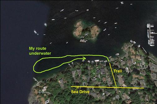
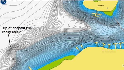
During this dive I didn't visit Daphne Islet, but I used the same access trail that I used last time to swim to the islet. This time I wanted to follow the Brentwood Bay shoreline out to the left (West) to see what the topography was like heading towards Tod Inlet. This was on Aug. 28, 2016.
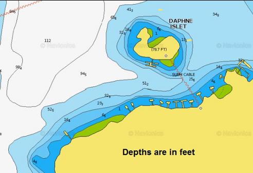
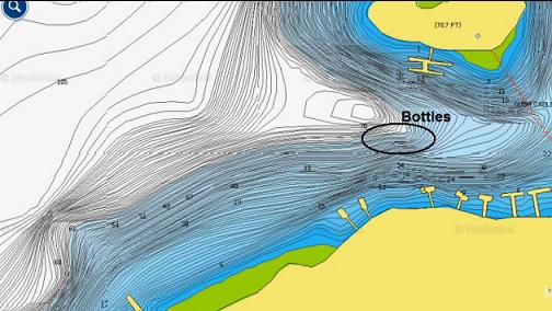
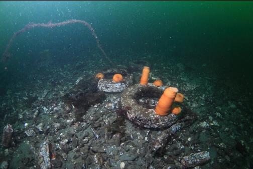
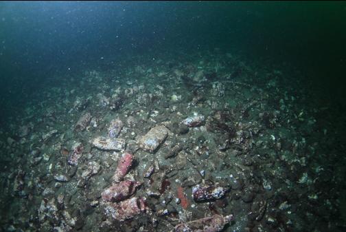
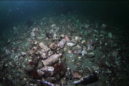
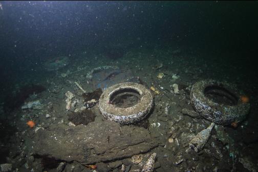
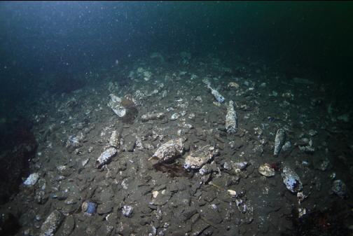
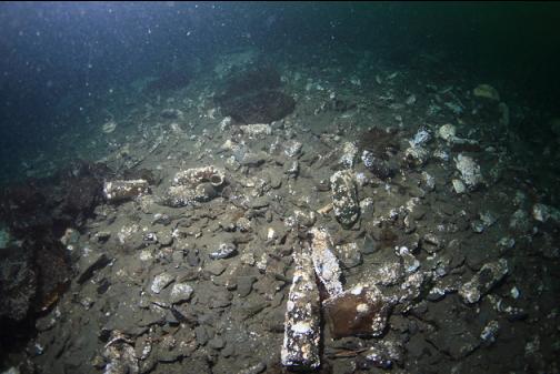
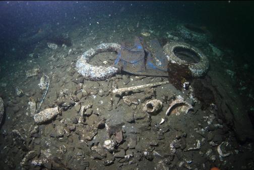
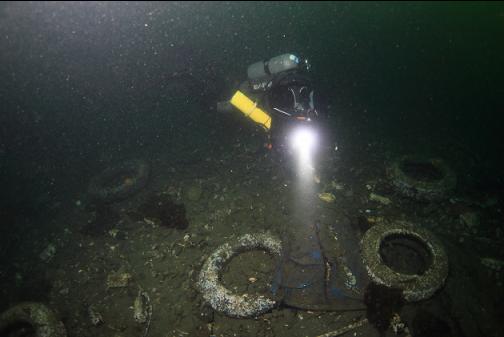
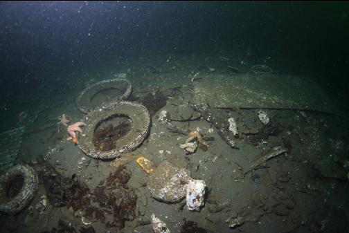
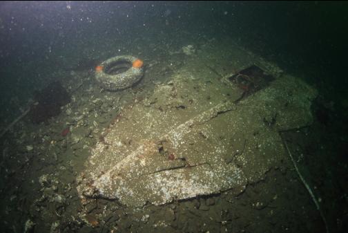
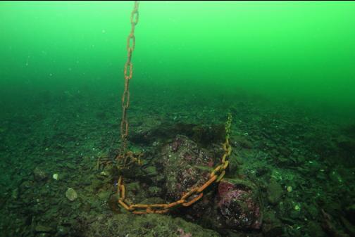
First I swam out to the bottle field/junk area in the channel. I don't know if this used to be a garbage dump or if it's just from all the anchored boats over the decades. Visibility was only a few feet in the shallows, but below 30' deep, it improved to about 20'.
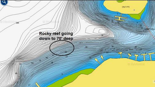
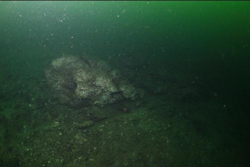
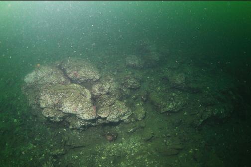
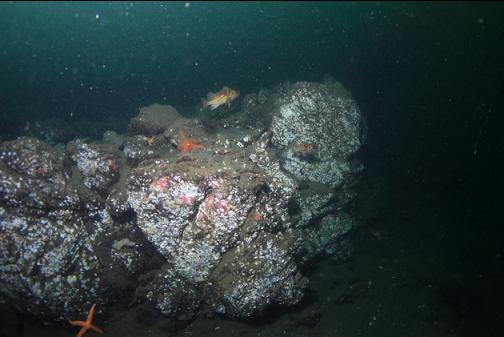
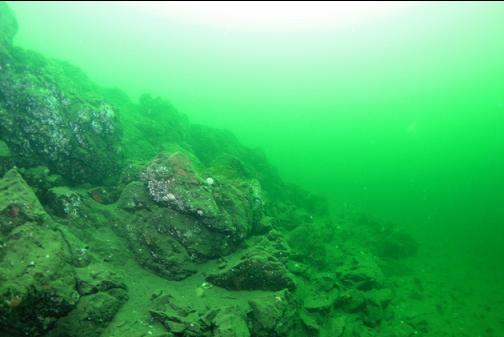
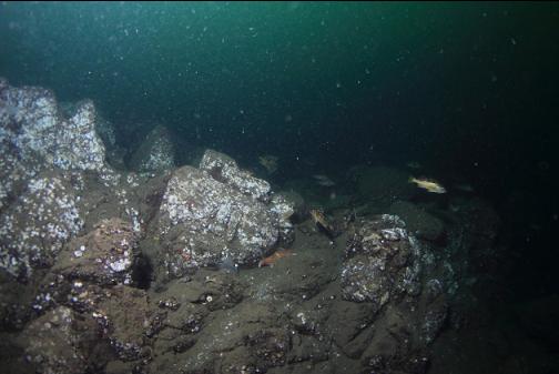
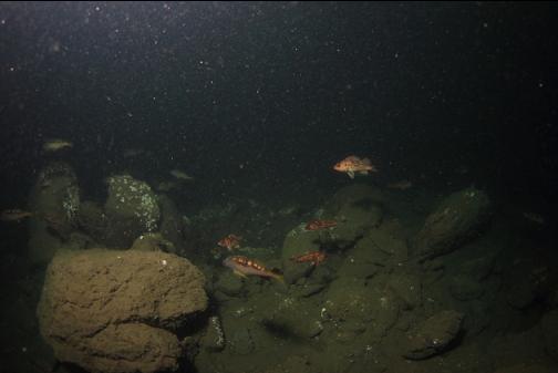
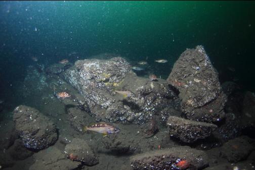
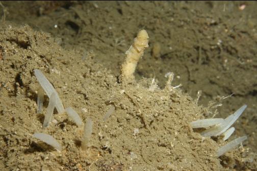
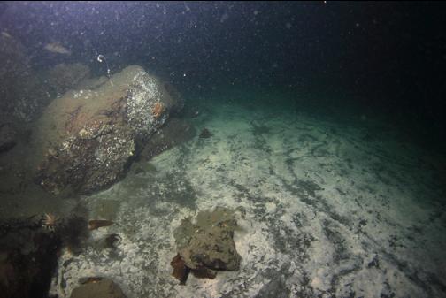
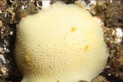
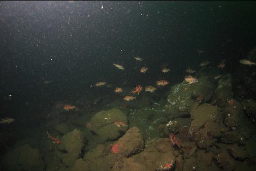
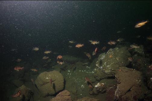
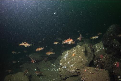
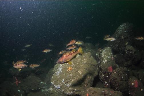
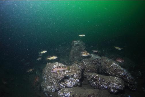
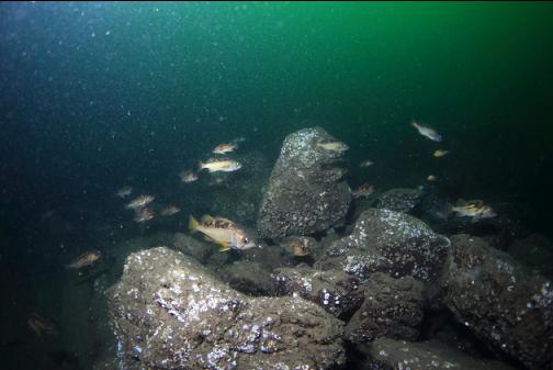
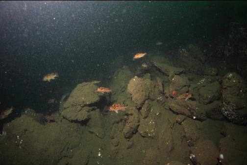
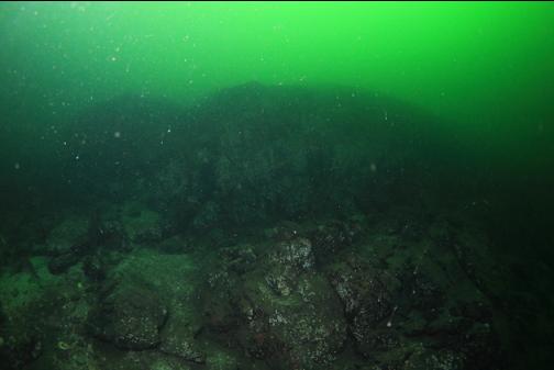
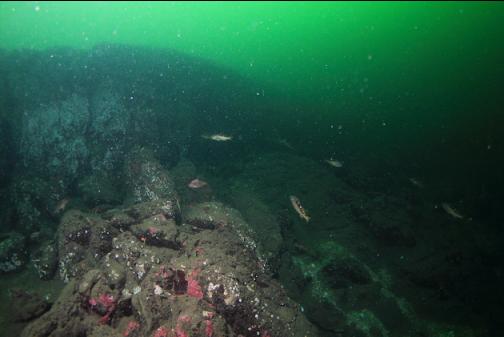
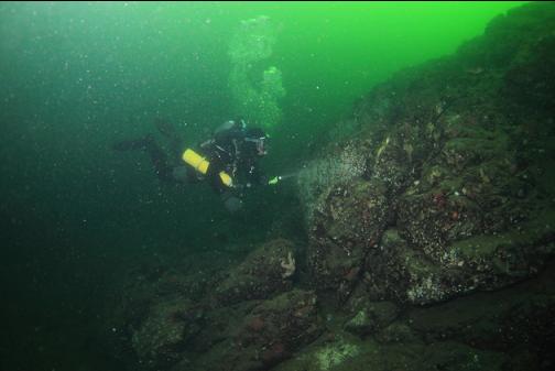
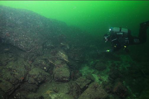
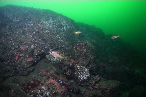
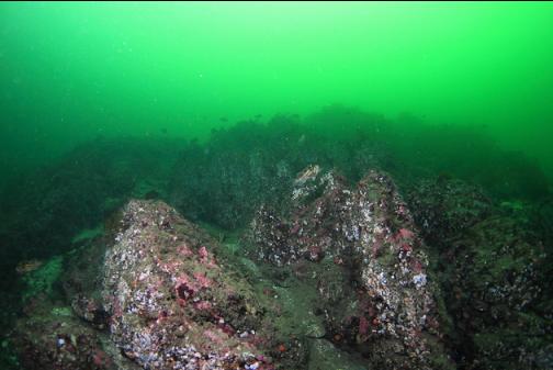
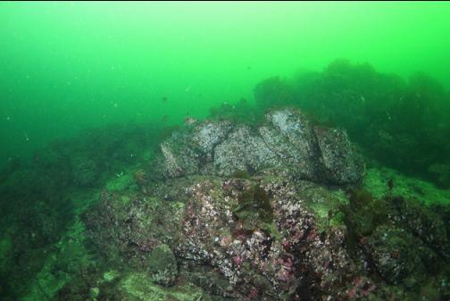
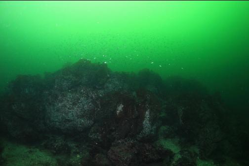
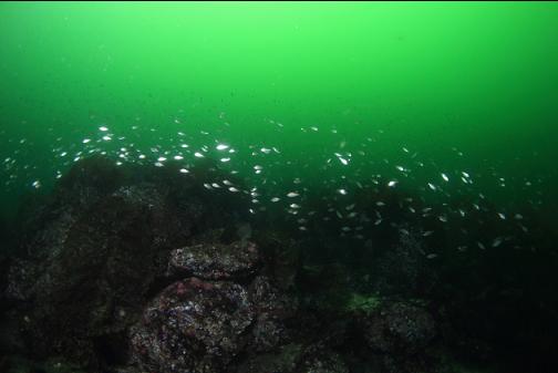
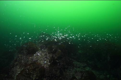
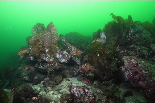
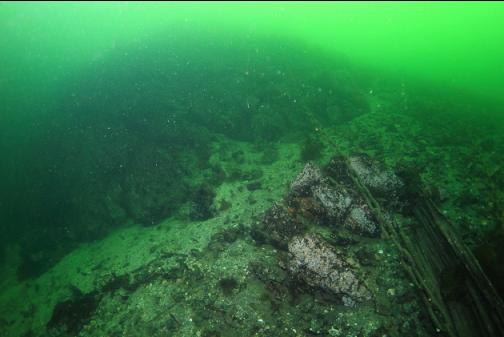
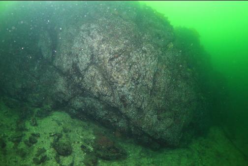
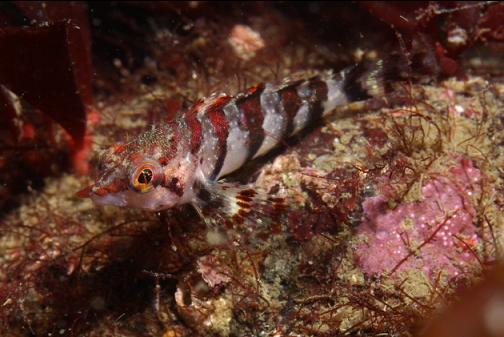
I then started swimming at a depth of 60' off to the West. The bottom was a slight slope of silty small rocks. Eventually I saw a rocky reef in the distance that went down to about 70' deep. The rocks were mostly bare, but there were lots of brown, copper and yellowtail rockfish.
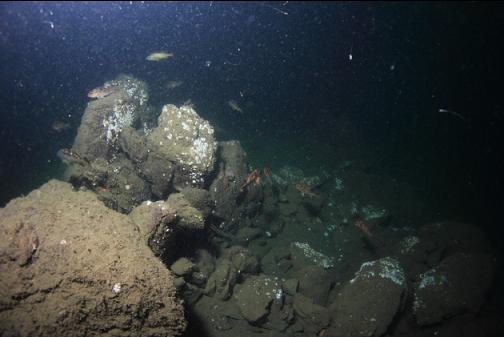
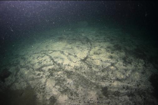
The reef ended and I continued swimming West along the silt/small rock slope. Another rocky reef started up. This one went down to about 100' deep. The flat mud bottom at the bottom of the reef was covered in white bacteria. I saw the same white bacteria mats when diving across on the other side of Tod Inlet years ago. There were also lots of copper/brown/yellowtail rockfish on this reef.
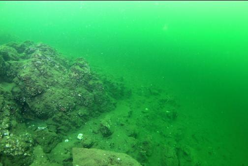
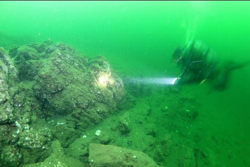
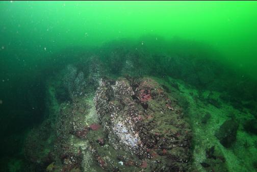
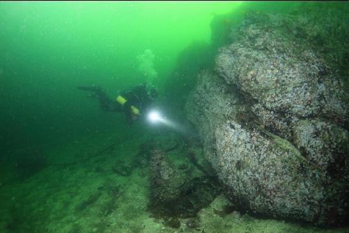
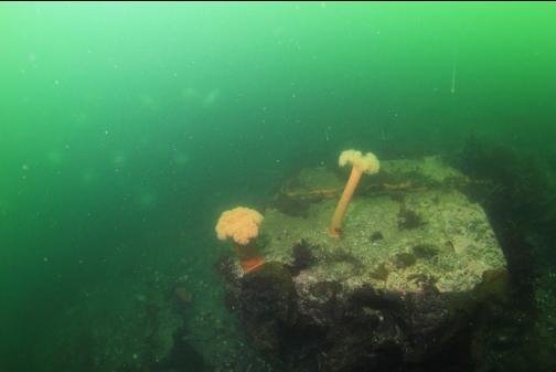
I swam back the way I came to the 70' deep reef. A bit shallower, a wall dropped from around 35' deep to 50' deep.
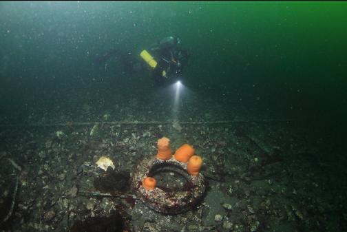
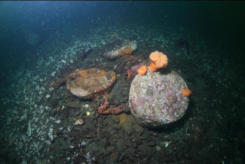
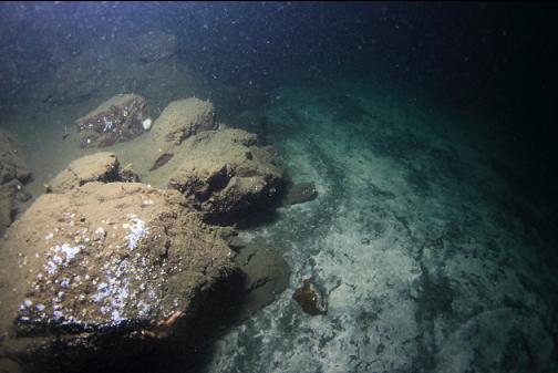
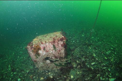
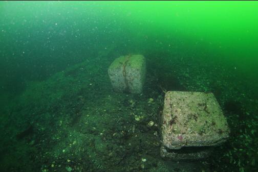
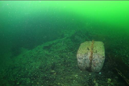
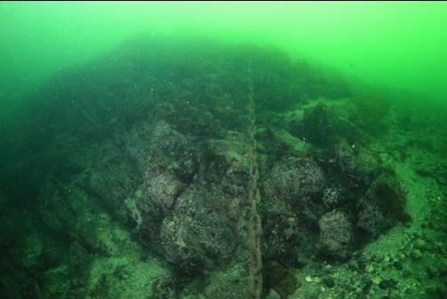
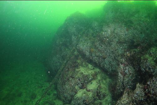
I swam back East towards my entry point at a depth of around 30-50'. There were lots of mooring blocks and some large rocky reefs.
So I satisfied my curiosity about what was out here, but unless I develop a fascination with bare, silty rock I don't think I'll bother coming back.