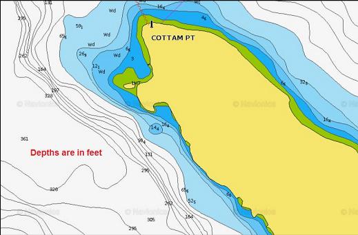
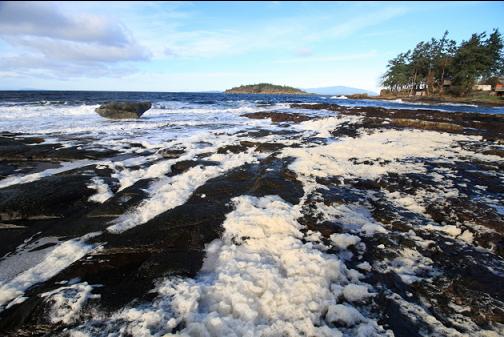
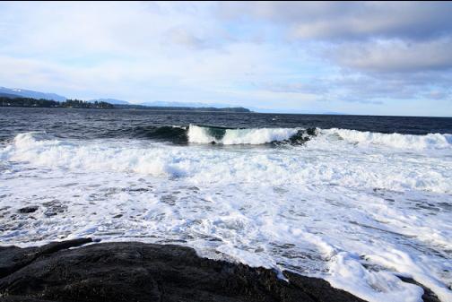
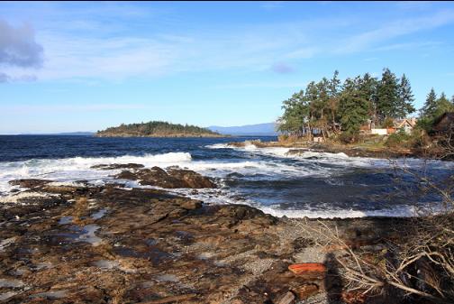
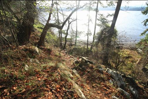
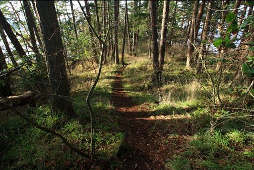
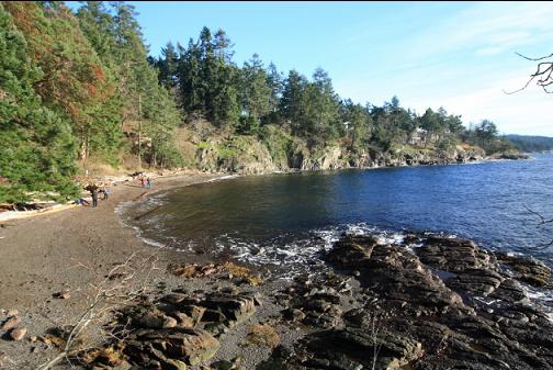
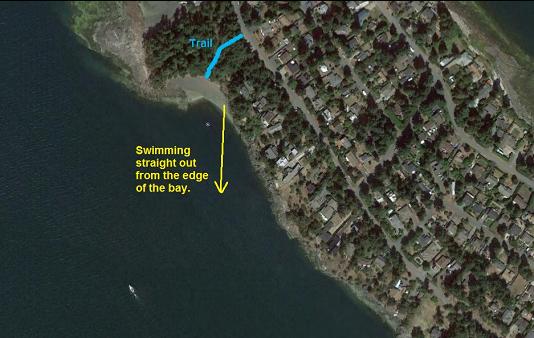
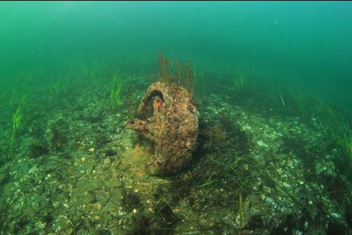
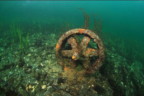
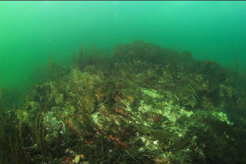
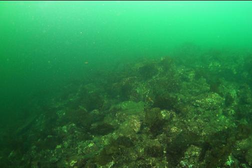
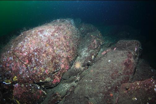
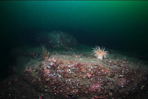
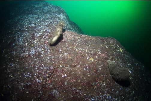
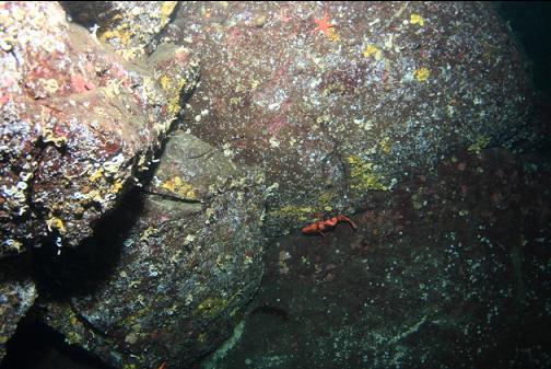
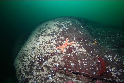
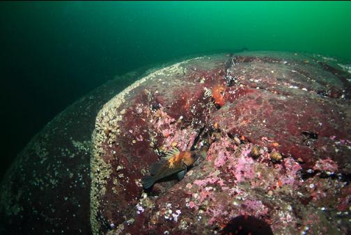
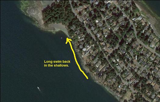
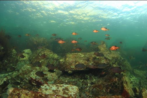
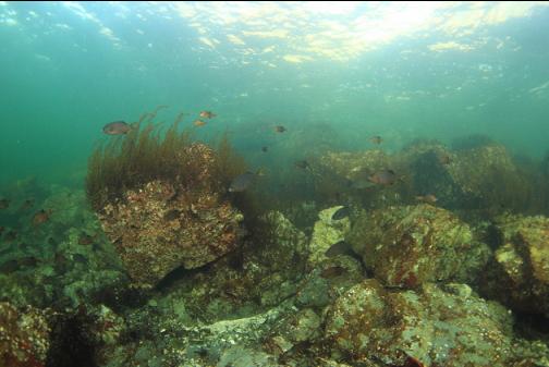
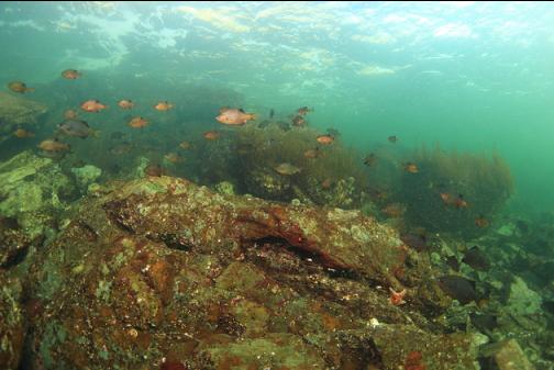
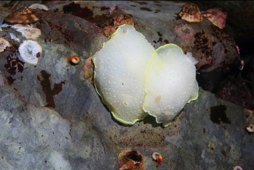
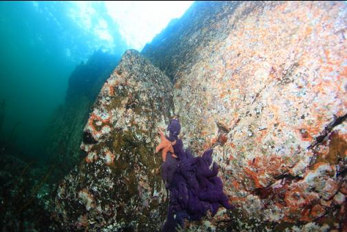
I haven't been diving here in a few years so I came up on Dec. 4, 2016 for another try at finding the deep walls promised by the chart and local divers. This time I took a trail to a bay on the South side of the point. There was a surprising swell rolling into the Northern side of the point. The rocks were covered with sea foam. It made the shoreline look more like the West coast of Vancouver Island instead of the Strait of Georgia. Fortunately, the bay South of the point was mostly sheltered from the waves.
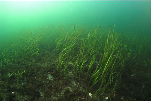
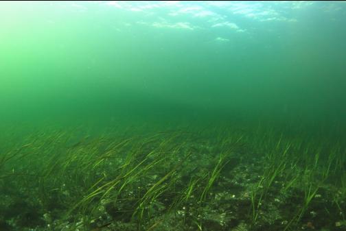
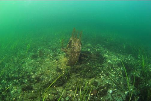
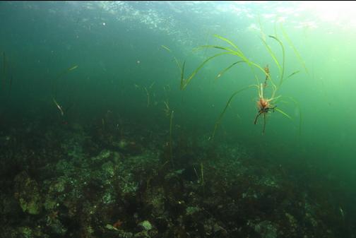
I swam straight out from the edge of the bay. The visibility near shore was maybe 1 foot from the stirred-up sediment. I had to feel for the bottom with my hand to see if the water was deep enough to descend as I swam out from the beach. The water gradually cleared the farther I got from shore. Eventually, I could see about 30' which is much less than normal for this time of year. At 20-30' deep, there was a plain of eelgrass.
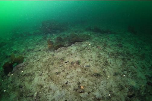
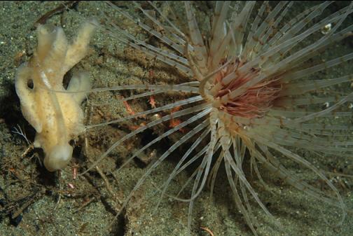
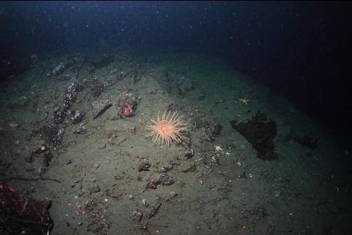
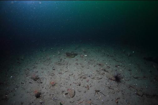
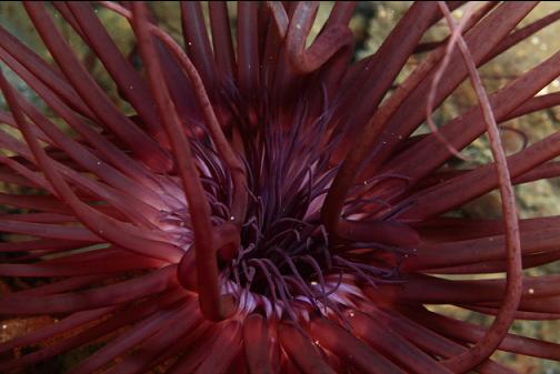
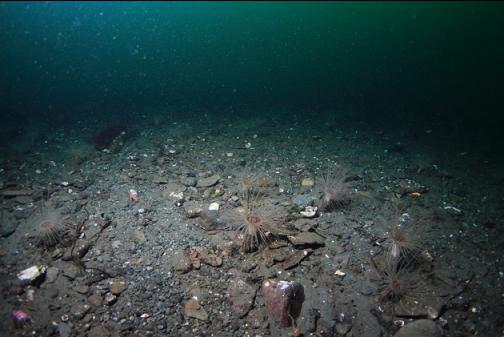
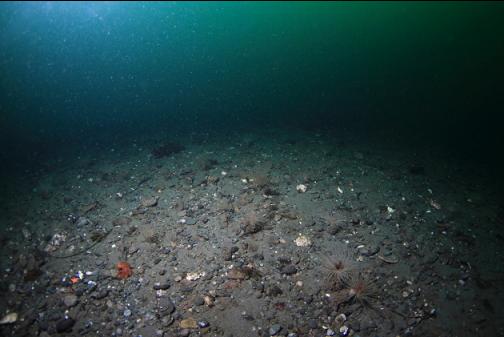
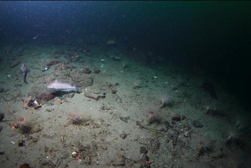
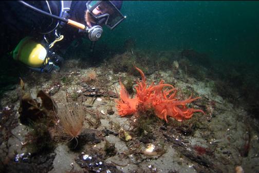
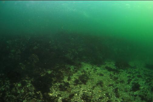
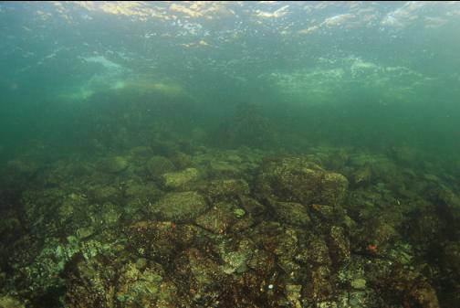
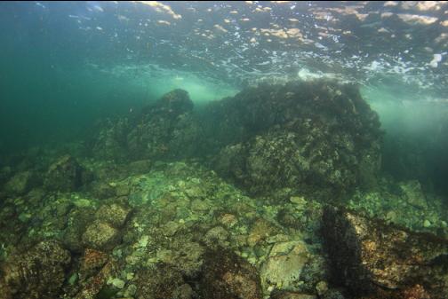
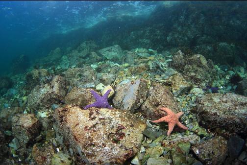
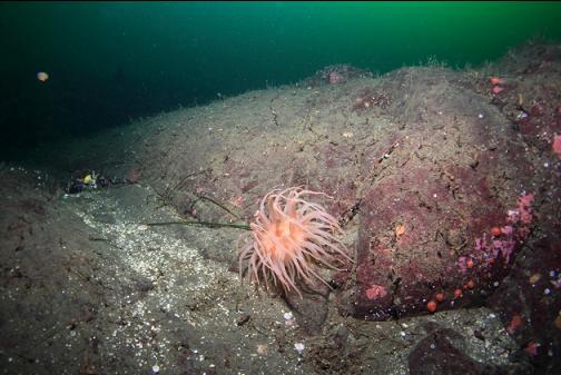
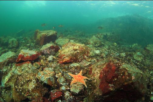
Out past the eel grass there was a rocky boulder area going down to about 45' deep and then there was a sandy slope with tube-dwelling anemones. I followed this sandy slope down to about 100' deep.
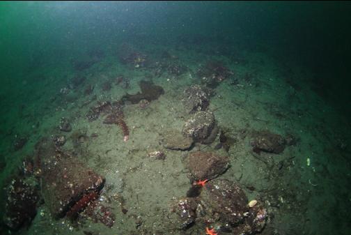
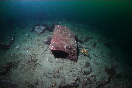
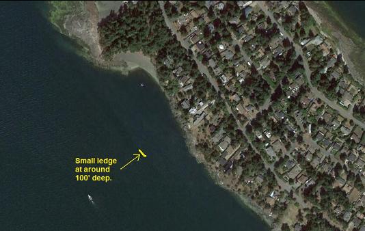
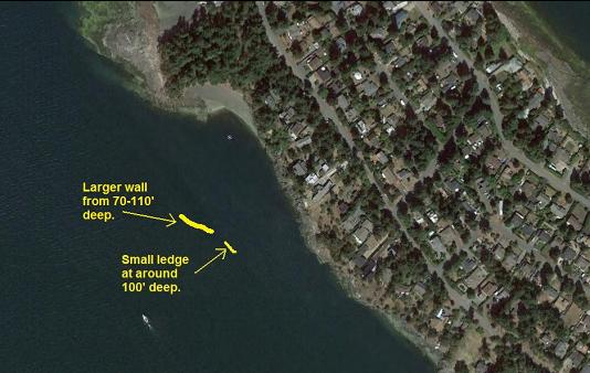
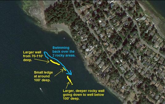
At about 100' deep I saw some rocks and then I saw the dark line of the bottom dropping away. I thought I had found the deep wall, but it turned out to be just a rocky ledge maybe 6' high. Below it there was just more sand.
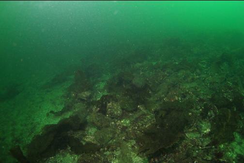
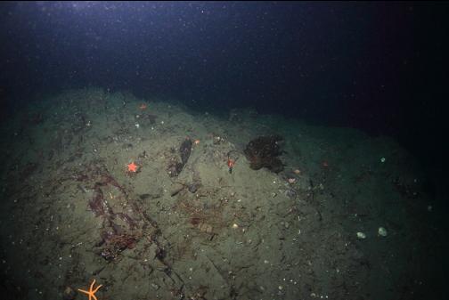
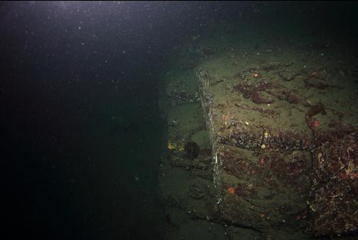
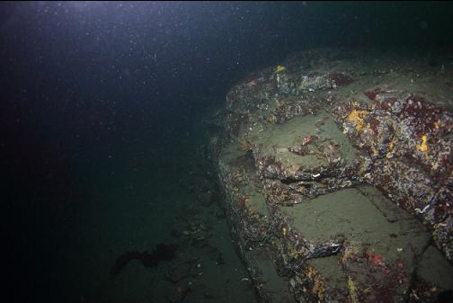
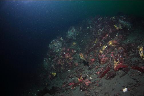
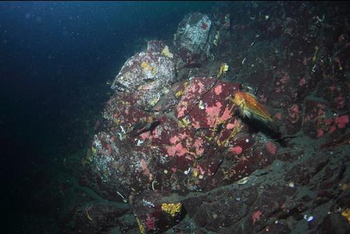
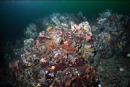
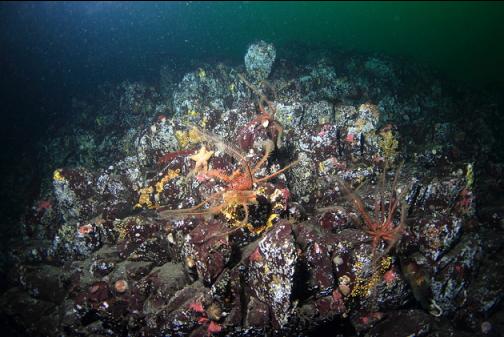
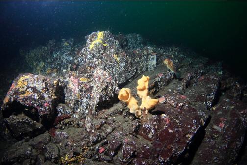
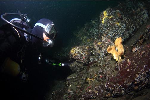
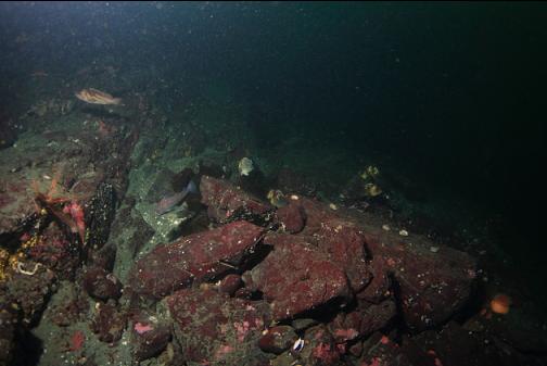
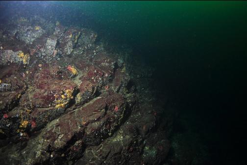
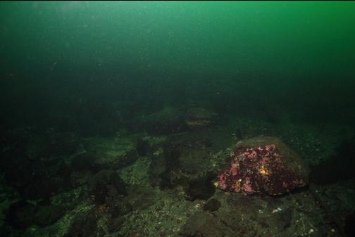
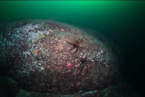
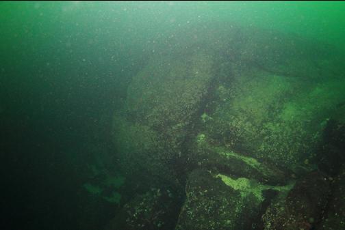
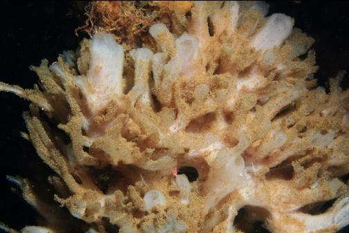
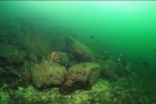
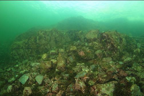
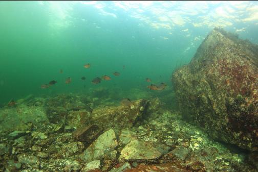
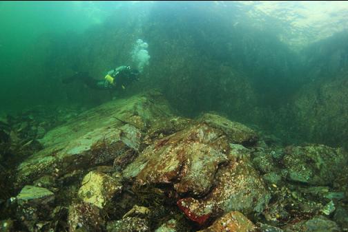
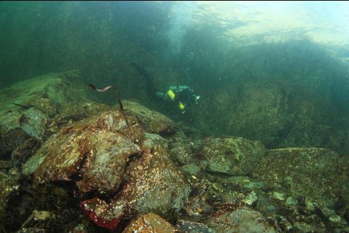
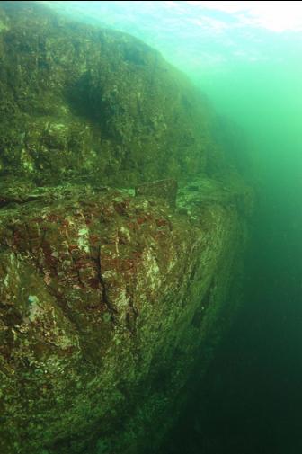
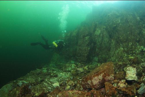
The rock ledge was pretty short. I swam past it at around 100' deep towards the point. This was along more sand. Eventually, I came across another rocky wall. This one was bigger. It went from about 70' deep to 110' deep. There were a few feather stars and a small cloud sponge. This rocky area wasn't very large either. If the visibility was better, I might have been able to see the whole structure at once.
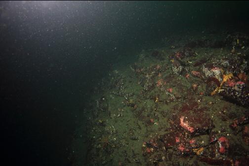
This rocky area ended and I continued swimming along the sandy slope towards the point around 90' deep. I swam for awhile and didn't see any more rocky reefs/walls. I think this is the area I dove years ago (I didn't find any rocky structure back then either).
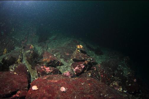
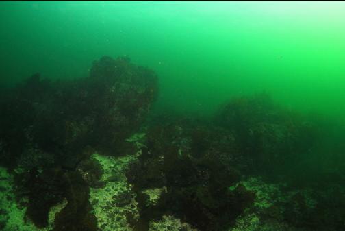
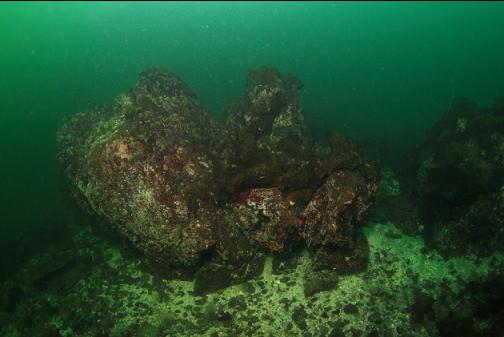
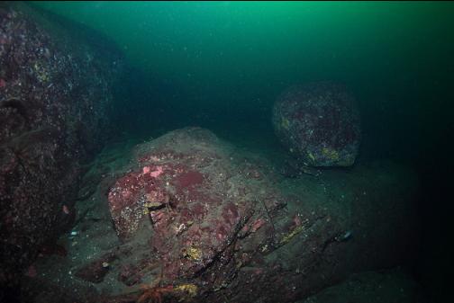
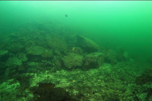
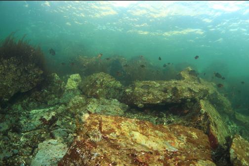
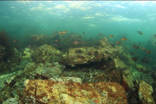
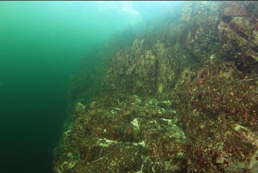
I turned around and swam back at a depth of around 90' past the 2 rocky areas I had already visited. I came across another, much larger steep rocky area that seemed to go down much deeper than 100'. I wonder if this is the deep wall I was looking for. Local diver Tom Hlavac has lots of videos online showing a wall around here covered with cloud sponges below 150' deep. There were lots of rockfish (copper and quillback) here. Since I had already spent most of my dive around 100' deep, I couldn't spend much time on this new rocky area without building up more decompression than my air supply could handle.
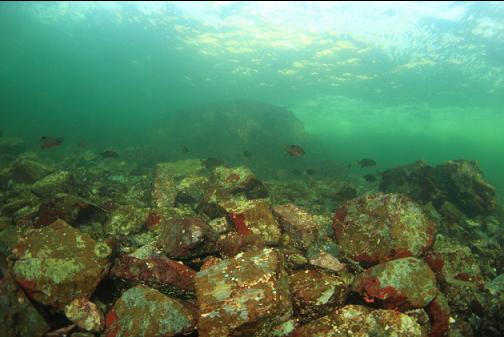
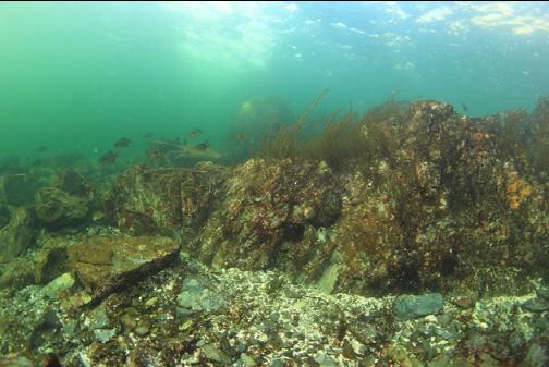
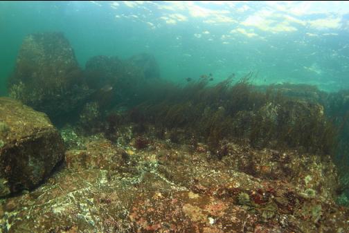
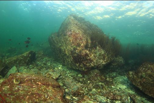
I swam back up this rocky area towards shore. The rocks ended up at about 60' deep I think. I have a hard time remembering all the different depths of all the rocky areas I saw on this dive. There were some shallower rocks as well (maybe 45' deep?).
Up in the shallows near shore the visibility was much better than when I started the dive. The tide was dropping and pulling clear, non-stirred-up water out of protected Northwest Bay.
After climbing back up the trail, I decided to take advantage of the improving visibility and do a second dive to try and re-visit the 3rd and biggest rocky area that I saw. I swam out at an angle towards in what I estimated was the right direction. I reached a depth of 90' without seeing any of the deeper reefs. I turned left and continued swimming along the slope at a depth of 90' towards Northwest Bay. I swam for a long time (maybe 20 minutes). I realized I must have missed the area I was looking for. So far down here there was just a sandy slope that seemed to go on forever.
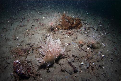
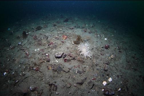
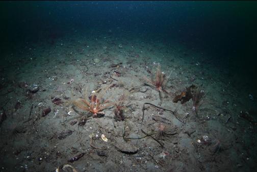
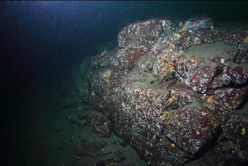
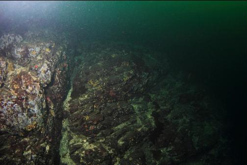
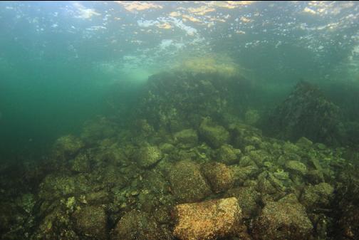
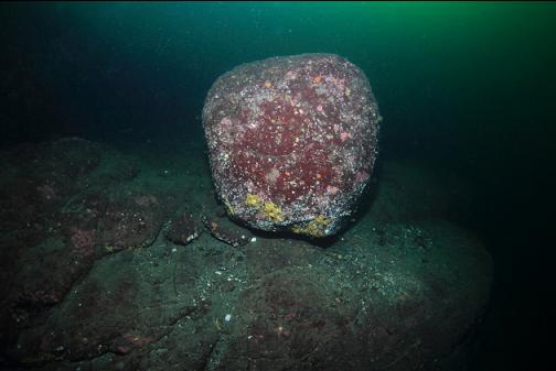
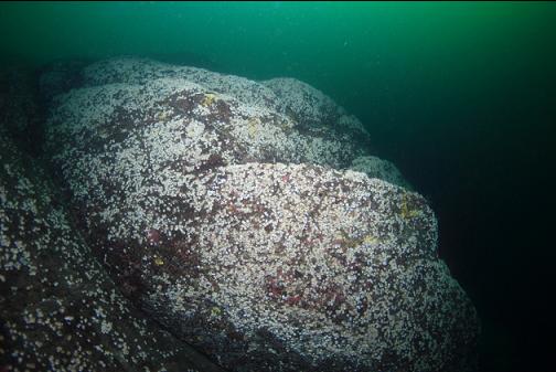
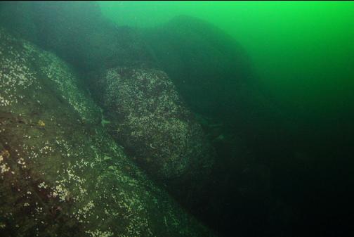
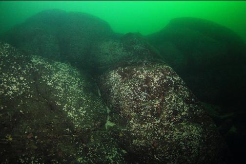
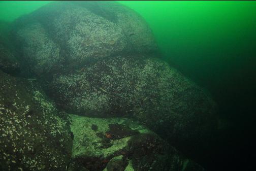
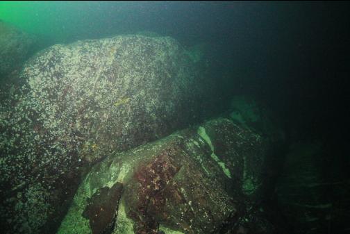
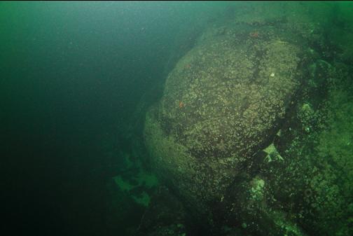
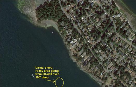
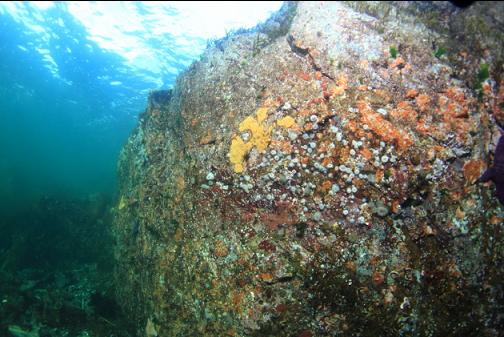
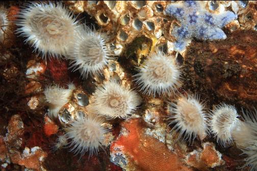
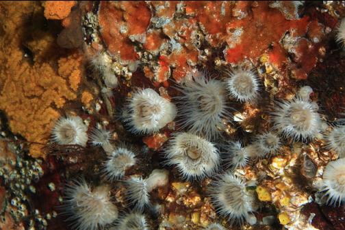
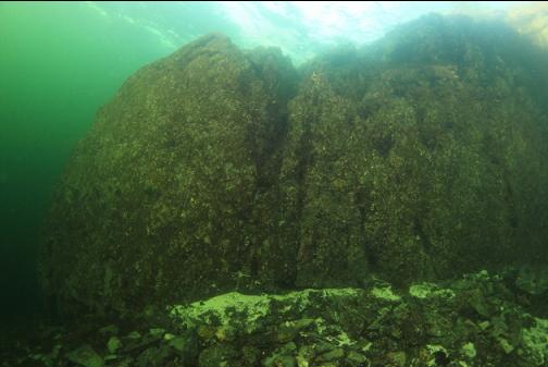
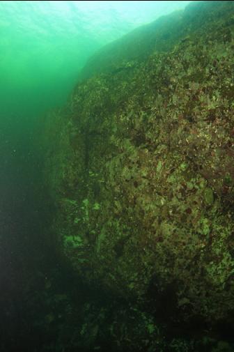
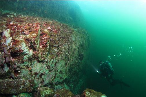
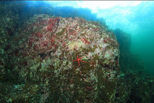
Eventually I came across a large, steep rocky area that dropped down well below 100' deep. I swam along it between 90 and 100' deep and I could see down the wall to at least 130'. There were few fish here. I saw a few crimson anemones and 2 boot sponges. The rocks here seemed more smooth and rounded than the rough, jagged-looking rock areas I saw on my previous dive. Some of the rock surfaces were covered with small, white barnacles.
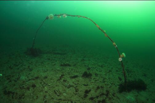
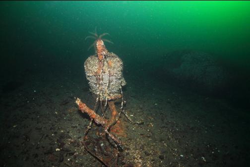
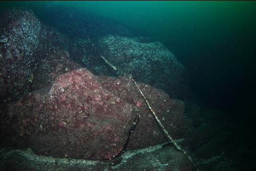
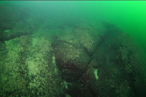
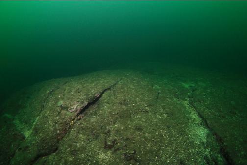
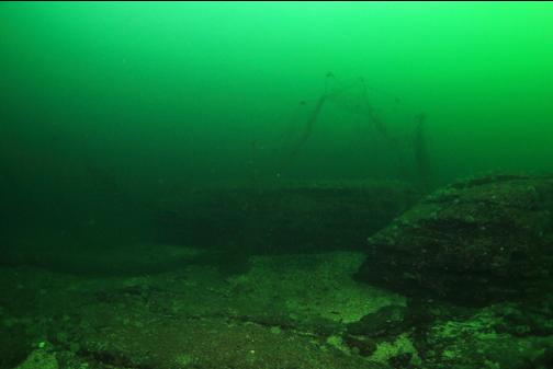
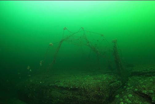
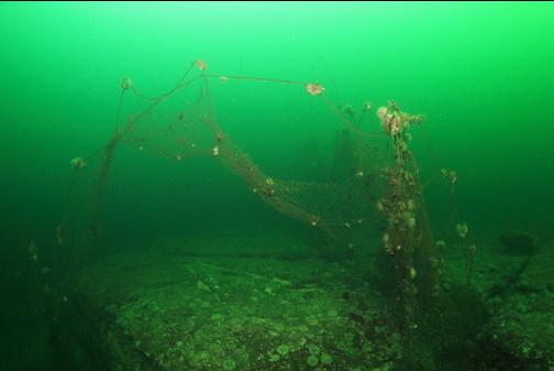
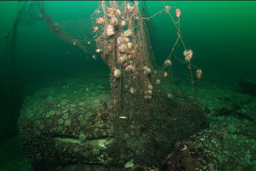
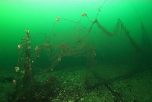
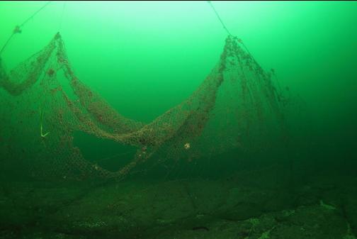
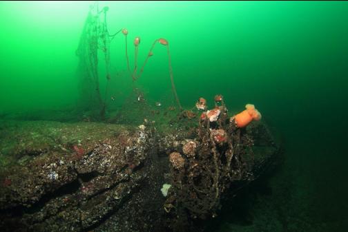
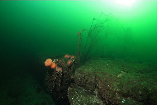
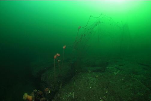
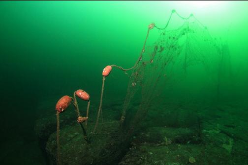
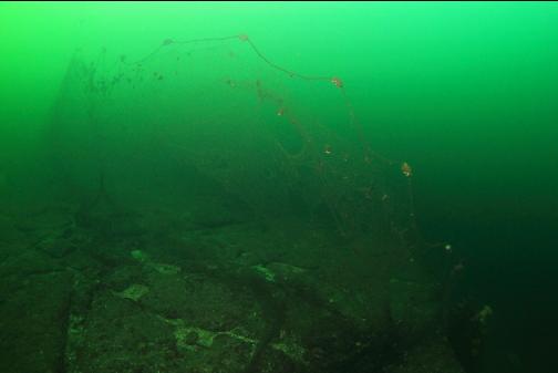
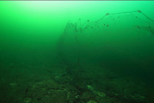
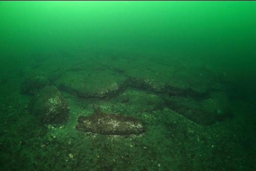
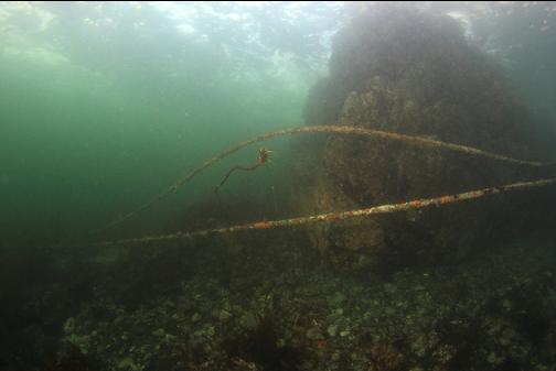
I was already into about 15 minutes of decompression so I swam up to the top of the wall (about 60' deep) and headed back towards shore. This area at the top of the wall was a large flat slab of solid rock. I saw a large fishing net at about 50' deep. It stretched for about 50' along the bottom. It was buoyed up by its floats. I didn't get too close. The thought of a diver blundering into it on a day with bad visibility is enough to cause nightmares. I didn't see any fish caught in it. It looked like it had been there awhile.
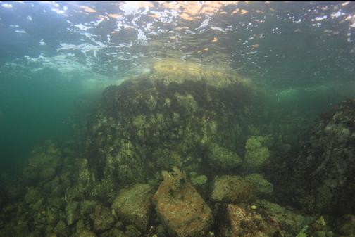
I reached the area near shore and swam back along it (10-20' deep) towards the beach where I entered the water. It was nice and clear here and there were schools of perch following me around. There was one area where a wall dropped straight down from the cliffs above the surface to about 40' deep. This swim took about 20 minutes which made me realize how far the deep wall area was from the entry-point.
