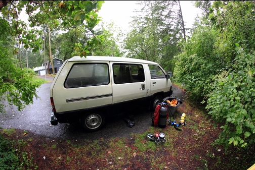
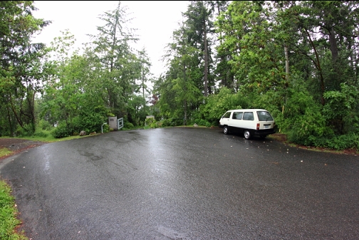
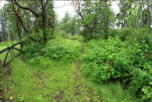
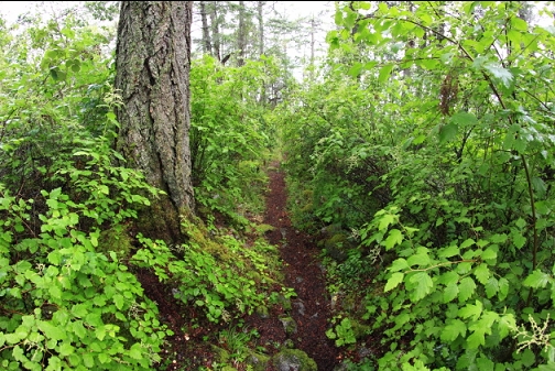
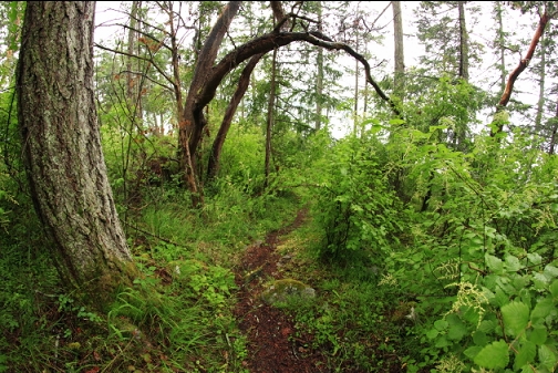
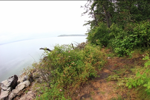
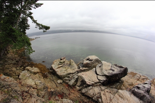
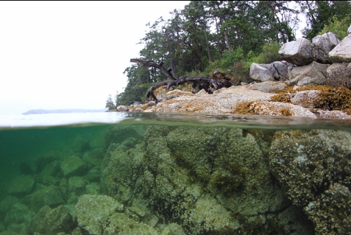
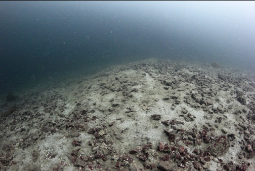
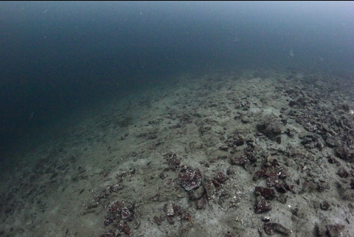
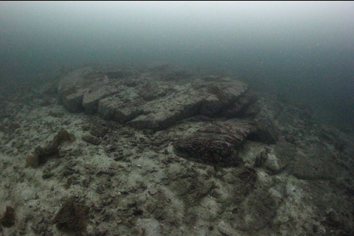
I've only been here twice before and both times I swam out to the left (South). There was mostly a slope of sand/gravel going down to over 100' deep, with only a few rocky areas. This time I wanted to see what it was like out to the right. This was on June 2, 2024. The trail seemed more overgrown than the last time I dove here about 10 years ago.
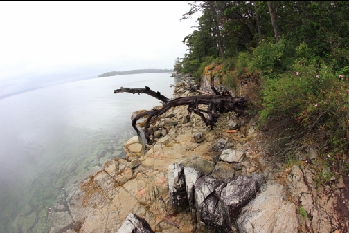
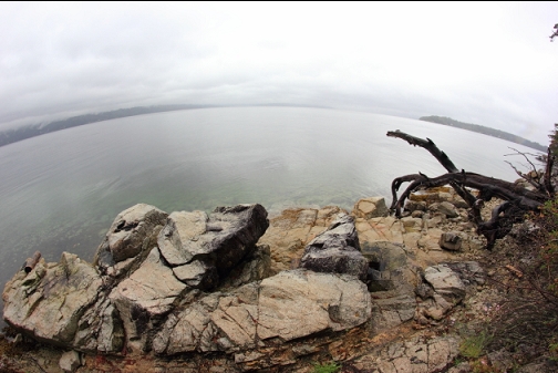
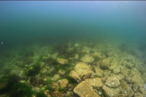
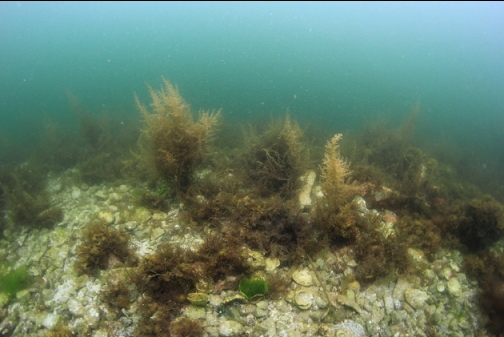
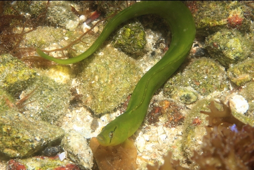
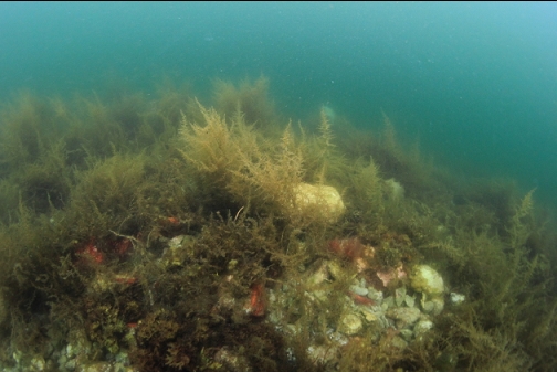
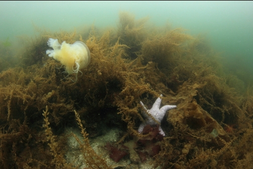
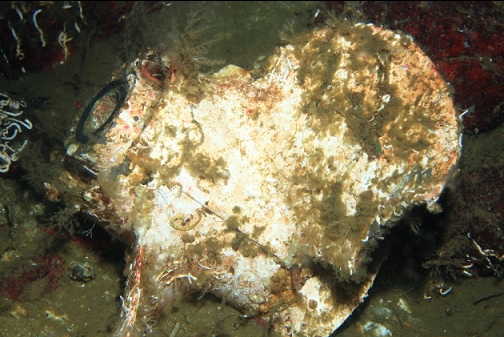
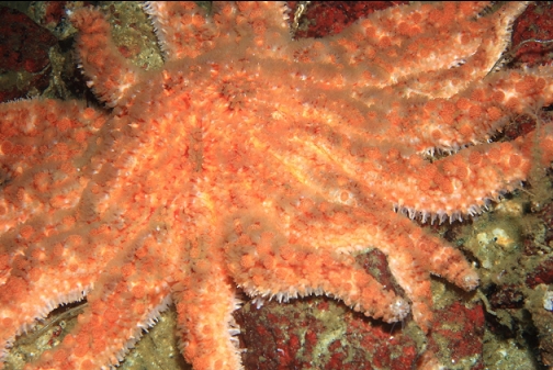
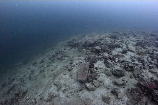
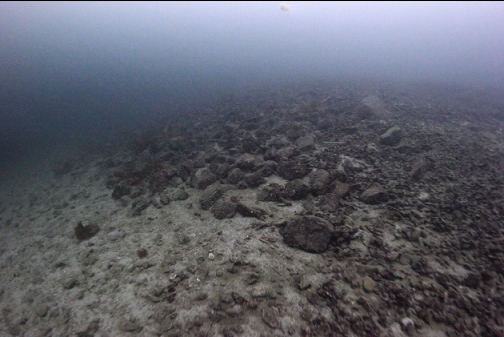
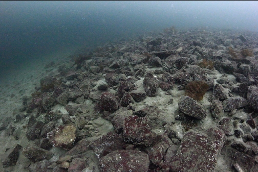
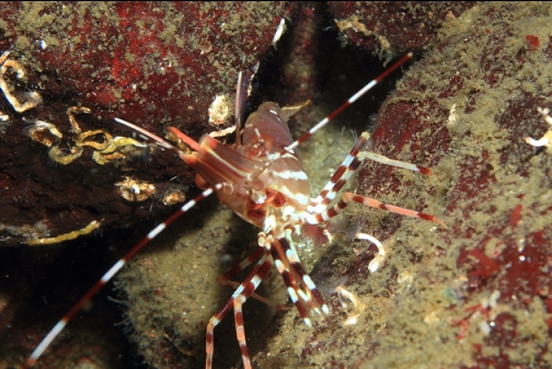
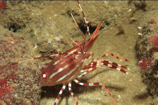
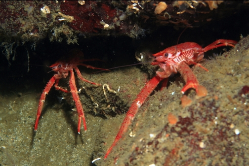
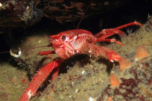
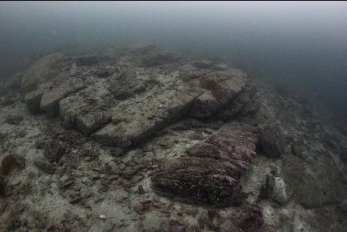
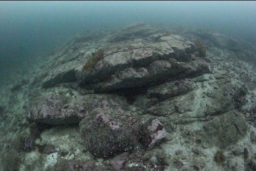
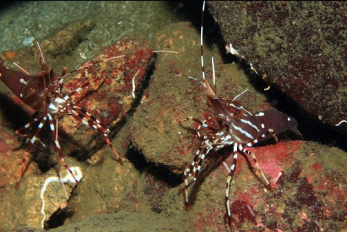
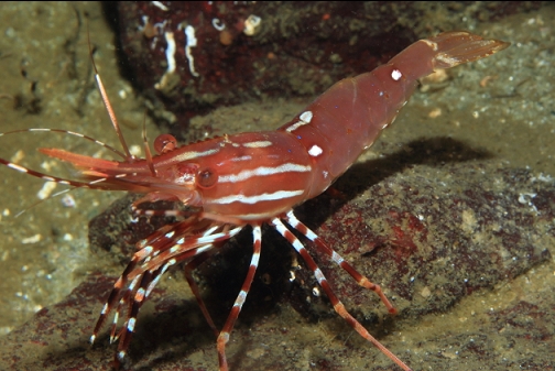
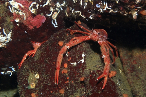
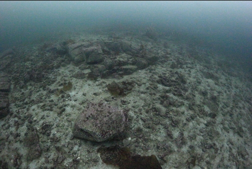
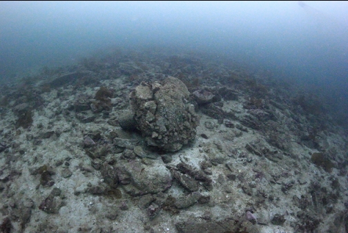
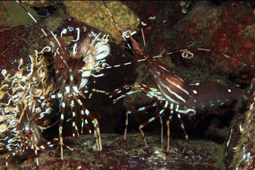
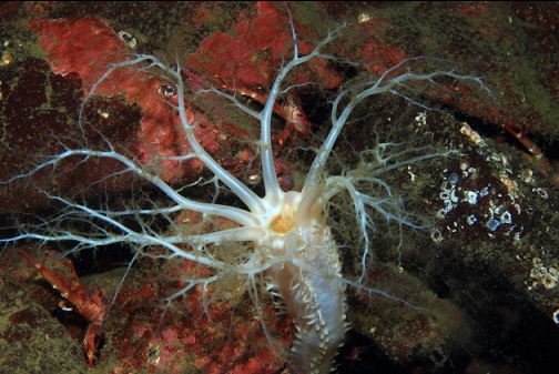
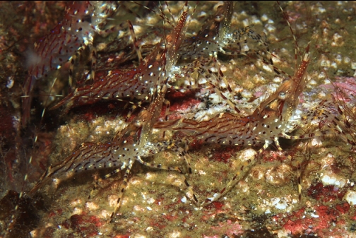
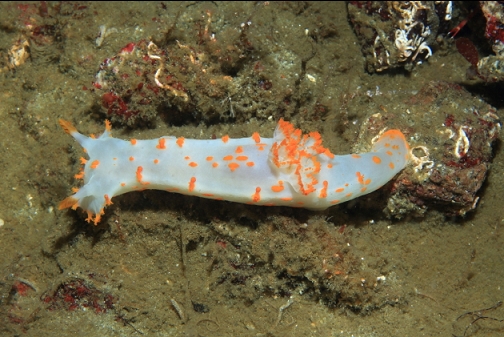
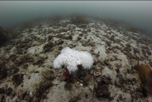
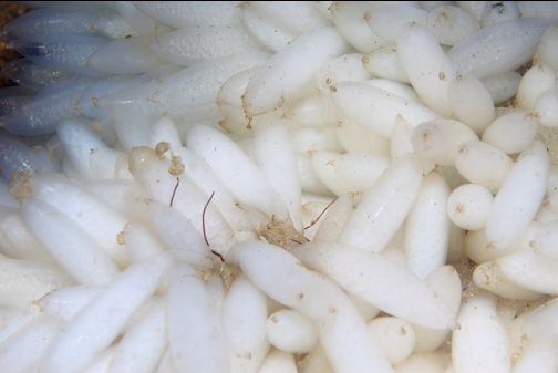
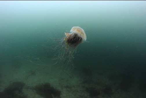
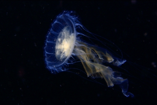
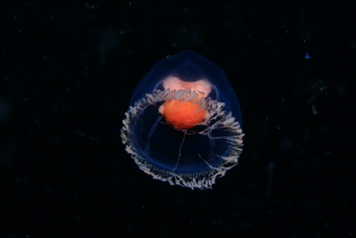
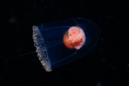
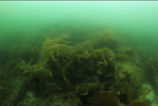
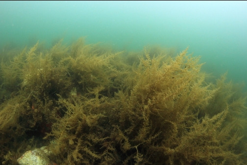
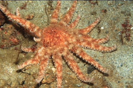
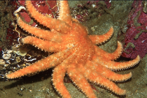
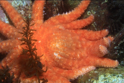
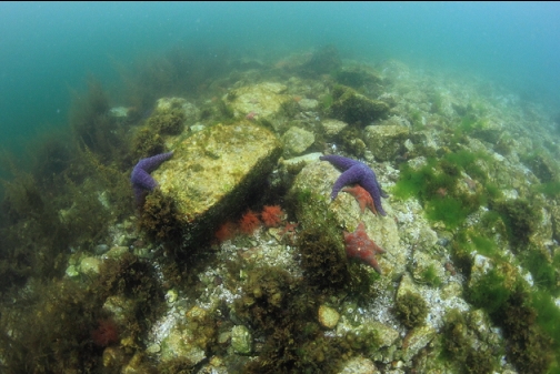
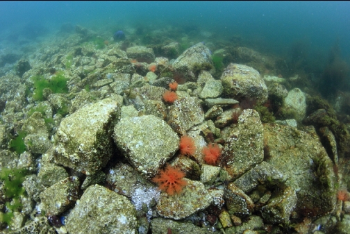
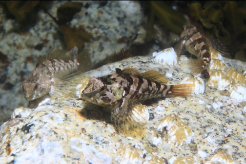
Visibility was about 10' in the shallows. I swam straight out and to the right. My wide-angle camera's strobe stopped firing almost as soon as I got in the water. I later found it had a leak in the sync cable connector. For the deeper wide-angle photos I was stuck taking long exposures with a tripod and then overly white balancing them later, giving them an artificial GoPro-ish look. I swam down the mostly-sand and gravel slope. Below 40' deep, visibility cleared to 30-40'. My maximum depth was just over 100' deep, but the slope kept going deeper. There were a few small rocky areas (mostly above 70' deep). I didn't see any fish during the whole dive except for some tidepool sculpins and a gunnel up in the shallows. There was a rock rubble area with lots of squat lobsters and prawns.
Now that I've seen both the left and right sides of this site, I don't think I'll be back for a while. The trail is just long enough and steep enough to feel it and then underwater there is limited structure and marine life.