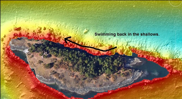
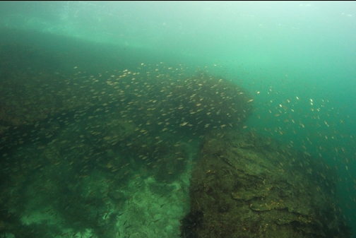
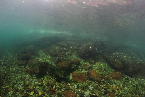
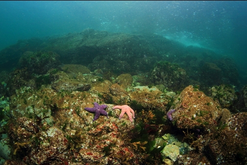
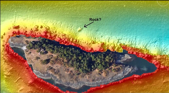
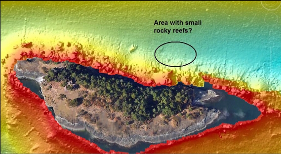
In Betty Pratt Johnson's 1970's diving guidebook 141 Dives, she mentions that at Jesse Island there is "a wreck you can enter", and "the 30-foot fishboat wreck is in 80 or 90 feet of water about the middle of the North side of the island". I never tried looking for it since that book was from 50 years ago and any (presumably wood) wreck would have long since disintegrated. I noticed recently that some of the online marine charts (Navionics, etc.) show a wreck in this spot. The problem with these online charts is that info like wrecks can be added by random users so it may not be reliable. The official Canadian Hydrographic Service chart doesn't show a wreck here. The sidescan sonar image shows an object out on the sand in the spot where the wreck symbol was located. The object looks like a rock to me considering the underwater topography here at Jesse Island (huge angular boulders), but I was curious to see for myself what the object was and if there was any truth to the idea of a wreck in this area.
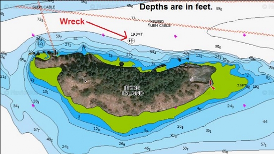
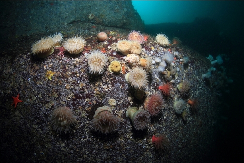
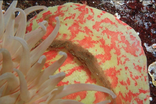
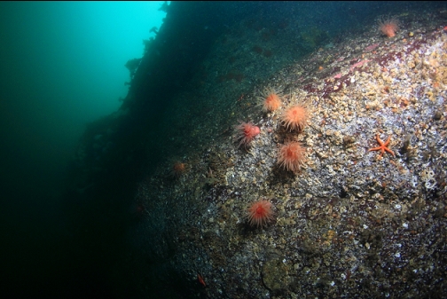
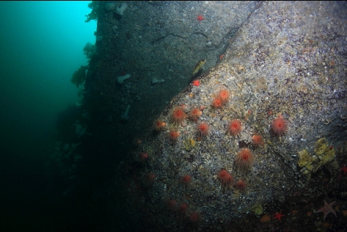
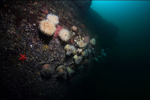
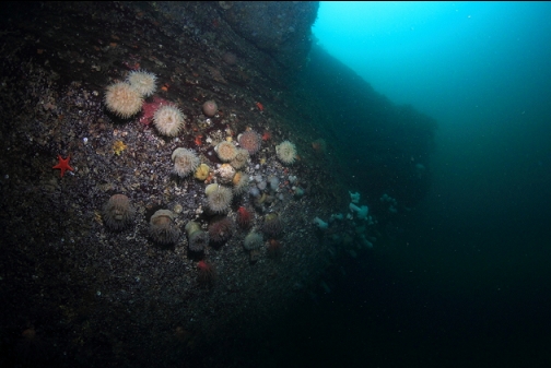
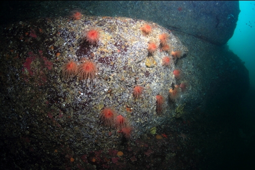
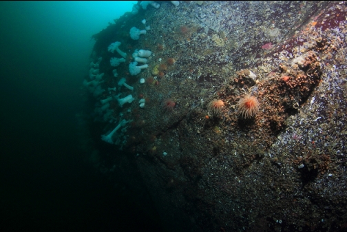
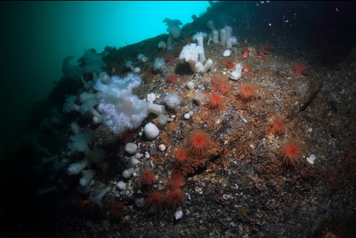
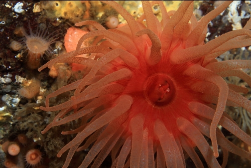
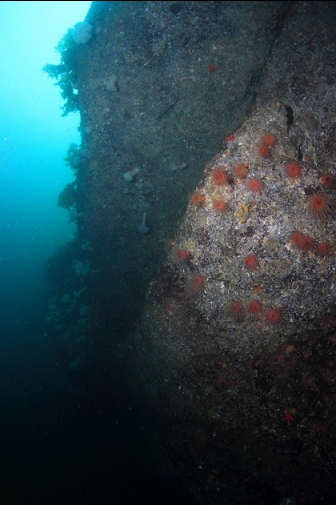
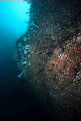
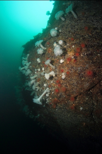
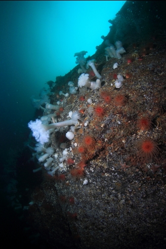
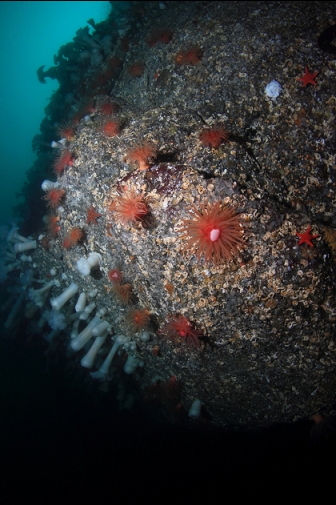
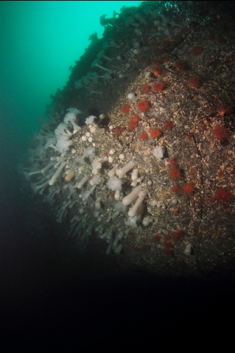
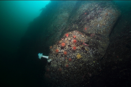
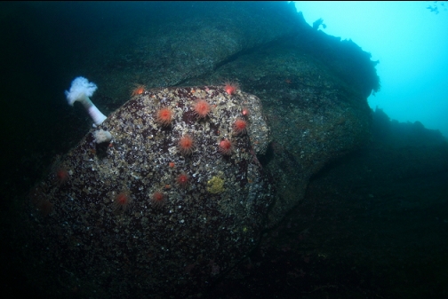
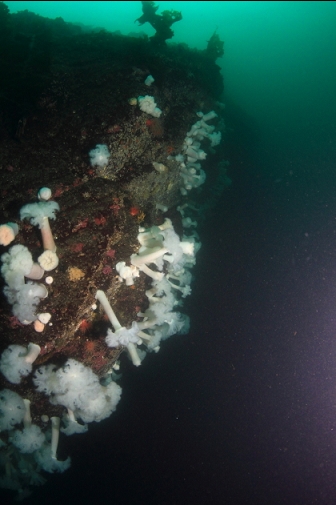
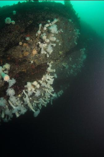
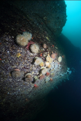
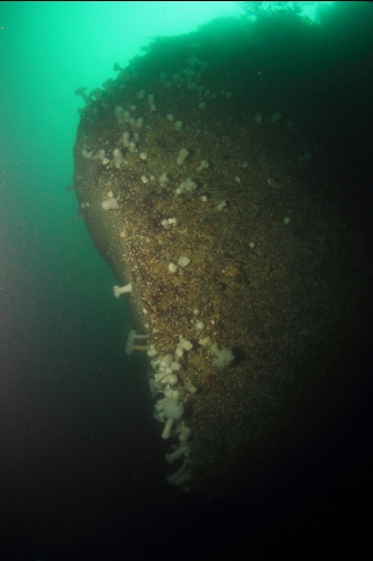
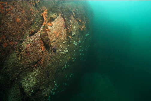
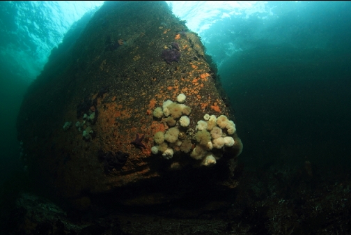
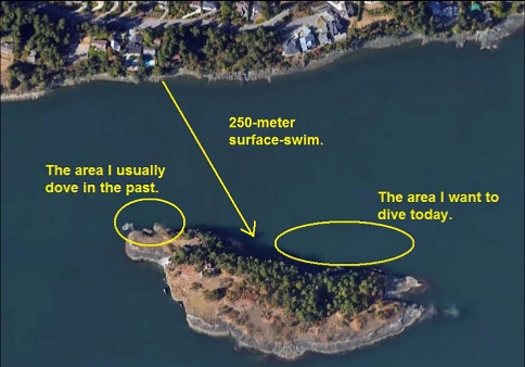
I dove here on Oct. 30, 2022. I had also dove here the weekend before to try and find the sidescan object, but I must have missed it. I did end up along the North-East end of the island, where there was a wall with an impressive amount of crimson, painted and plumose anemones. Unfortunately, my camera strobe wouldn't fire because of wiring issues so I wasn't able to take any photos. Today I wanted to try to find the mystery object again and get some photos of the anemone area. It was a windy day out in the Strait of Georgia and there were 3-foot swells rolling along the channel I had to swim across to get to Jesse Island. It was a bumpy swim and sometimes the waves would roll over my head. There was some kind of big red Coastguard/search and rescue zodiac that came over to ask if I needed help as I was swimming across. I should have asked them for a boat ride to the island and then a ride back when I was done (preferably with hot chocolate ready).

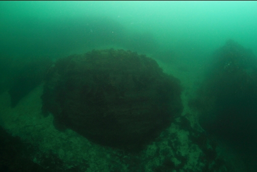
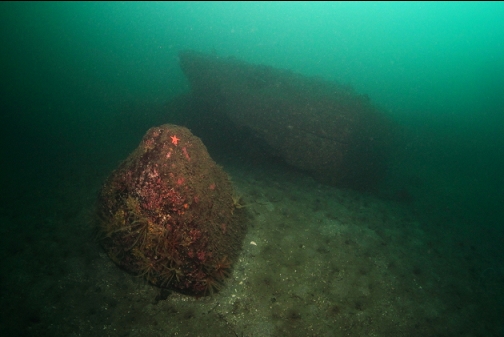
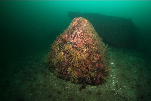
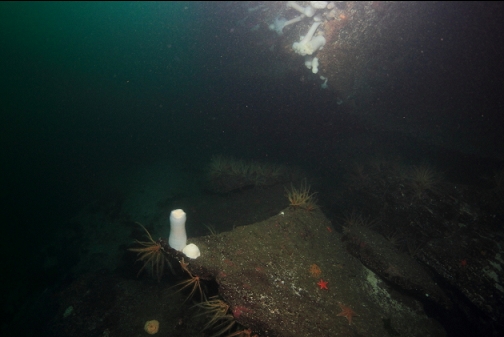
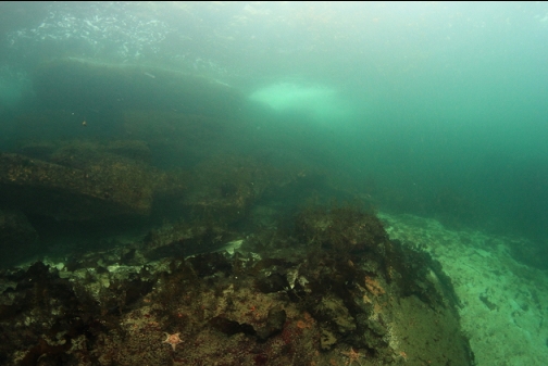
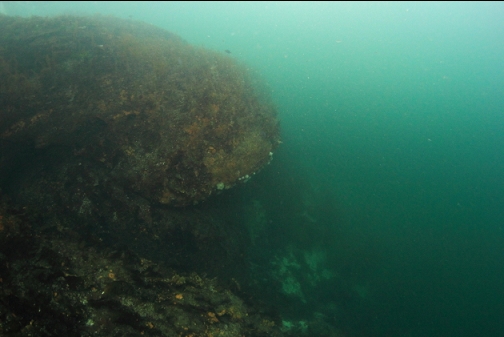
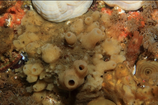
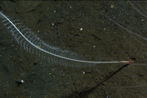
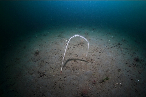
Visibility at the island was 30-40'. I swam down the slope (full of big sandstone boulders) until I reached the end of the rocks about 70' deep. I estimated that this was the area just before the sidescan object so I swam down the sandy slope to about 90' deep (it was a very high tide) and started swimming East. There were several sea whips sticking out of the silty slope, but I still didn't see the large object. I think I must have started too far East and it was probably behind me. I did see 2 or 3 small rocky areas. They were only a few feet across and the object shown on the sidescan image seems about 60' long. These small rocky reefs (90-100' deep) had some feather stars, plumose anemones, small copper and quillback rockfish, a boot sponge and an octopus den.


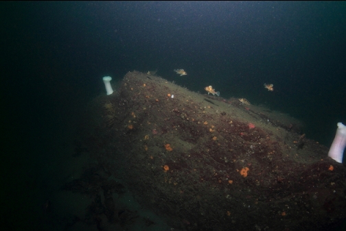

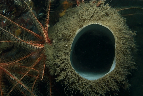

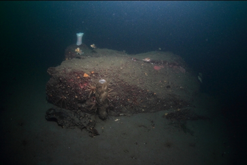
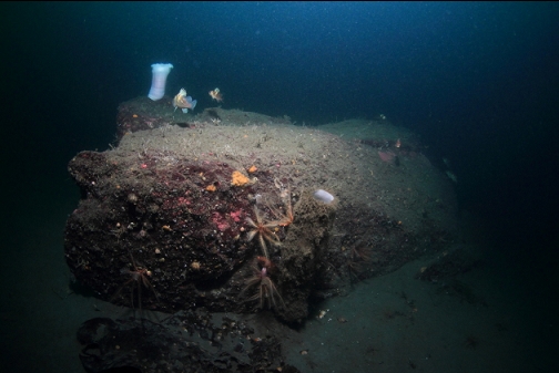

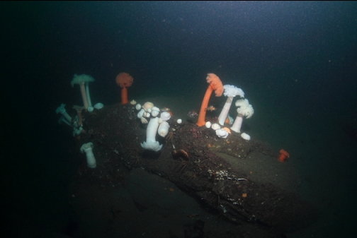
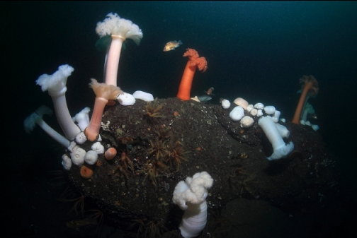
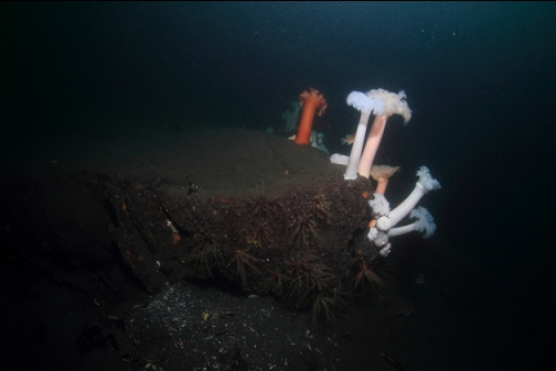
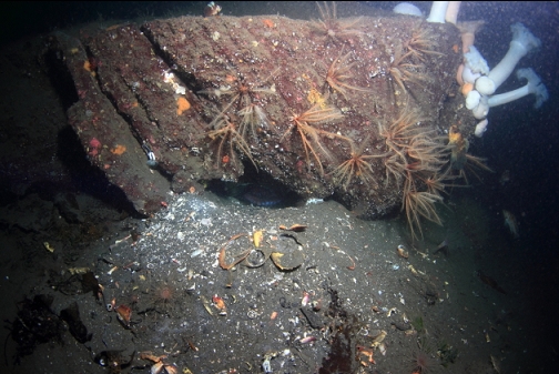
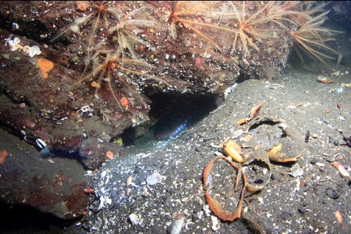


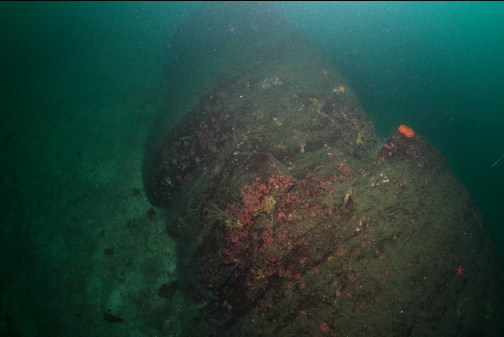
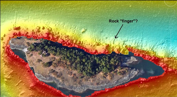
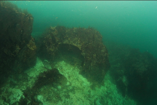
I swam up the slope towards Jesse Island. I saw a long, thin rock finger sticking out into the sand. I was hoping such a distinctive formation would be visible on the sidescan image and would allow me to pinpoint my location, but the sidescan image shows a few potential rocky fingers so I'm still not exactly sure of the area I covered.
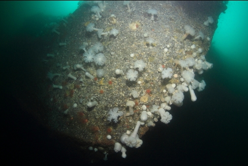
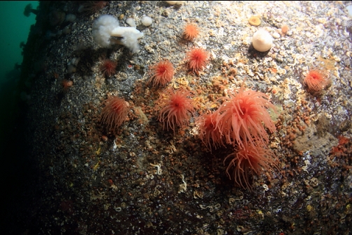
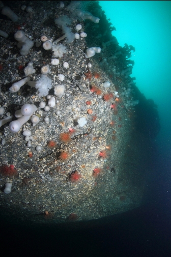
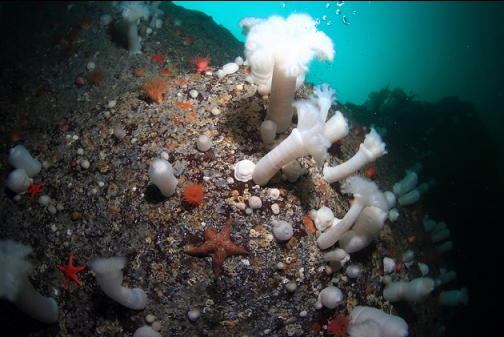
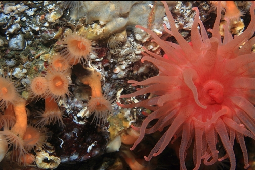
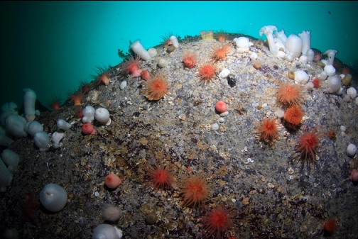
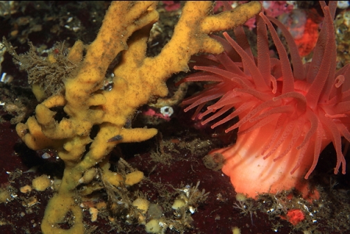
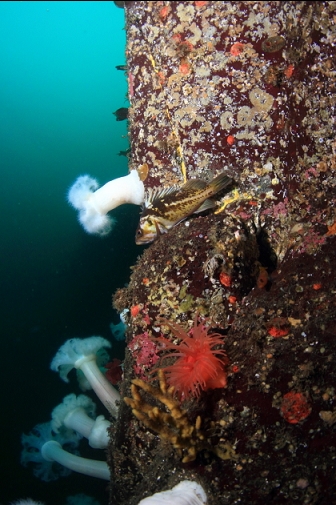
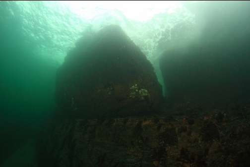
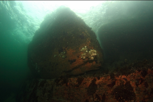
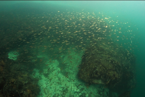
I reached the anemone wall. The base was about 75-80' deep at high tide. Most of the anemones were 60-70' deep, which seems shallower than usual for crimson anemones in the Strait of Georgia. There were a few copper and quillback rockfish, but they were all pretty small (probably less than 10 years old). Jesse Island is in a Rockfish Conservation Area so it's illegal to fish or spear here. I don't know if the fish will eventually develop into mature adults or if this just isn't good enough habitat for rockfish. From what I've seen, these species of rockfish commonly eat shrimp and I didn't see a single shrimp on the entire dive.
I'll have to come back again to try and find that "probably a rock" shown on the sidescan image. I think the anemone area is now my favorite area to dive at Jesse Island. It's too bad that it's an even longer swim than the area around the Western end where I used to always dive.


